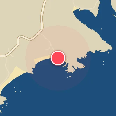
Map
Map
Ataka
Today's Surf Conditions at Ataka
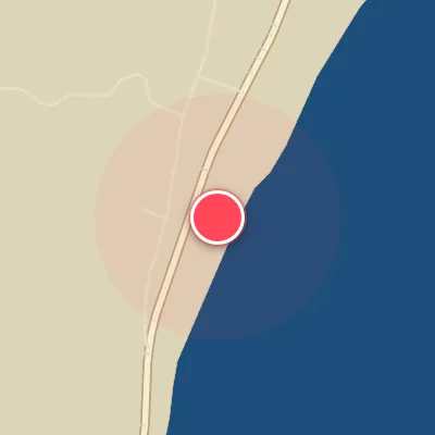
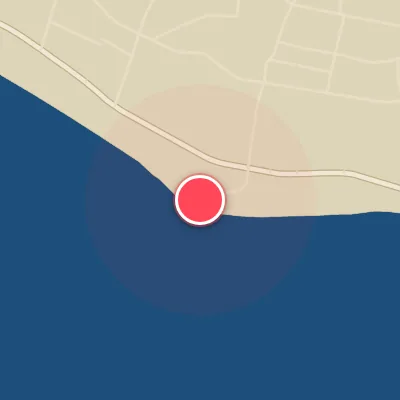
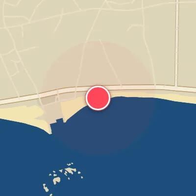
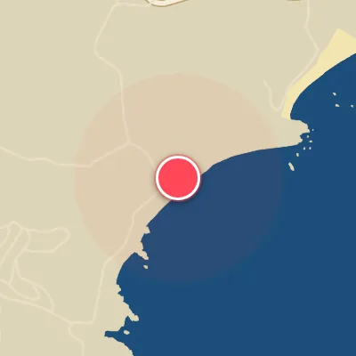
Spot Conditions Map
Hover over the hourly chart columns to update the wind & swell direction overlays on the map.
Today's Surf & Wind Forecast (Hourly)
Loading forecast text...
Best Surf Season & Climatology
Best Surf Season (October - March)
The North Pacific winter machine kicks into gear from October through March, driving consistent W-NW swell trains into Ataka's exposed northwest-facing beach. Average wave heights peak above 2.0m in December and January, with periods often reaching the 8-second range - offering punchy, rideable surf. What sets this window apart is the high frequency of offshore wind from the SW through W directions. October leads with a stellar 41% of ideal wind conditions, closely followed by November (40%) and December (38%). These months see a favorable battle between low-pressure systems tracking south of Japan and high pressure over the Asian continent, channeling clean offshore breezes. When the timing aligns, you get pumping NW swell lines wrapping in under light offshores - absolutely firing.
Fair Surf Season (April - September)
As spring progresses, the Aleutian low weakens and the Pacific storm track shifts north, causing average swell heights to drop to 1.1m in April and further to 0.8m by May. Wave periods also shorten into the 5-6 second range, resulting in smaller, often weaker surf. However, the wind picture remains relatively favorable - September and April both see 35% and 34% ideal wind respectively, thanks to a mix of southerly and southwesterly components that blow offshore at Ataka. This period is characterized by inconsistent swell windows and a reliance on tropical activity or late-season frontal passages. Still, when a typhoon or a strong mid-latitude low sends energy our way, Ataka can pulse with fun, head-high waves under smooth offshores.
Low Surf Season (June - August)
The heart of summer is without a doubt the slowest time for surf at Ataka. Swell energy hits an annual low - average wave heights hover around just 0.6-0.7m, with periods barely clearing 5 seconds. The dominant swell directions shift to N-NNE (combined over 30% in June, July, August), which are largely unproductive for this west-northwest facing beach. Moreover, the ideal wind percentage drops to a dismal 22% in June, its lowest of the year, as the monsoon flow brings persistent onshore winds from the SW and S? Actually checking wind data: June shows high percentages from S, SSW, SW, WSW - those are actually offshore? Wait: Offshore is W, WSW, SW, SSW. So those are good. But ideal wind % given is 22%, so maybe other directions dominate? Let's see: June wind totals: S 7.9%, SSW 7.3%, SW 7.7%, WSW 6.3% - combined ~29% from those directions, but maybe speeds? Actually ideal wind percentage is given based on defined criteria (offshore directions at certain speed?). So we trust the data. So summer is low surf despite some offshore wind, because swell is minimal. Occasional typhoon swell can spike, but it's rare. For most surfers, this is a great time to travel or take up another hobby.
Detailed Surf Information for Ataka
Detailed Surf Forecast
Access our detailed 8-day swell and wind forecast charts for Ataka with tidal graphs, period ranges, and daily forecast text summaries.
Swell & Wind Statistics
Explore historical swell consistency, wave heights, and offshore wind windows month-by-month, compiled from over 40 years of data.
Historical Surf Report
Browse the historical database archives to view past wave reports and understand spot climatology during specific years and months.