Map
Map
La Isla
Today's Surf Conditions at La Isla
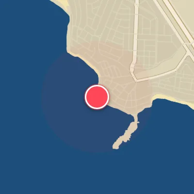
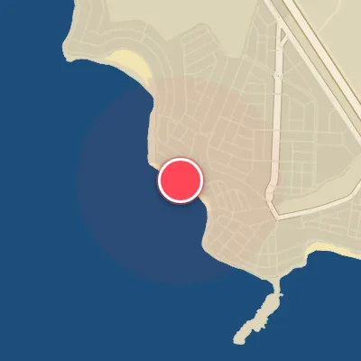
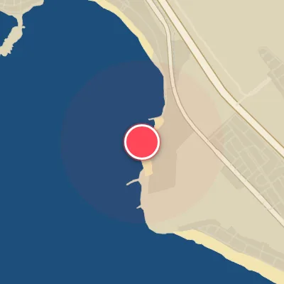
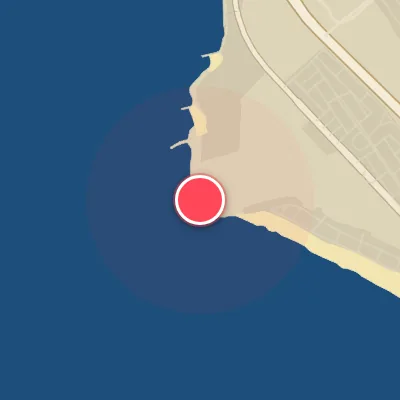
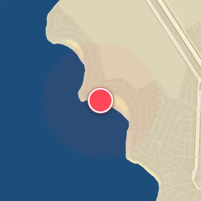
Spot Conditions Map
Hover over the hourly chart columns to update the wind & swell direction overlays on the map.
Today's Surf & Wind Forecast (Hourly)
Loading forecast text...
Spot Overview & Description
La Isla sits at the tip of Punta Hermosa, a classic Peruvian reef break that serves up some of the finest righthand waves in the region. This spot is pure quality when conditions align, especially during the prime surf season from March through September. Access is straightforward, which means when the swell fills in, the lineup fills up—expect company and be ready to share the peak. Wave heights range from head-high to triple overhead (1 to 3 meters), with consistent energy handling swell sizes from 3 to 10 feet. The dominant right peels fast and steep, throwing a thin lip that demands sharp reflexes, while the left offers a softer, more forgiving ride. Beware the bottom—urchin-crusted rock makes for tricky footing, so keep your feet light and your awareness high. Ideal swell direction spans South through West-Southwest, with the best winds coming from the North to East-Southeast quadrant. This wave is best suited for intermediate to advanced surfers, though you'll see a mix of shortboards, step-ups, and the occasional longboard in the water. The local vibe can have an edge, but generally the energy stays mellow if you show respect. Keep your eyes on the ocean at all times—never turn your back on the sets. The environment is clean and inviting, but don’t let the beauty lull you; stay sharp, stay humble, and you’ll earn your share of memorable waves.
Best Surf Season & Climatology
Best Surf Season (February - April)
February through April marks the window where La Isla sees its highest probability of offshore winds — still a precious rarity here, with ideal wind percentages peaking at 7% in March. During these months, the southeast Pacific subtropical high begins to weaken slightly, allowing occasional pulses of northerly flow to push down the coast. Combined with a steady diet of SSW and SW groundswells averaging 1.5-1.7m and periods in the 13-14s range, the result is clean, powerful waves that line up beautifully on the southwest-facing beach. This is the sweet spot: when the swell is firing and the wind finally plays nice, La Isla transforms into a world-class left.
Fair Surf Season (May - August)
Winter in the Southern Hemisphere brings the peak of the swell window. From May through August, average wave heights climb to 1.8-1.9m with periods consistently above 13s, generated by intense mid-latitude storms tracking eastward across the South Pacific. The predominant swell direction remains SSW, directly into the beach. However, the same large-scale pressure gradient that fuels these storms also strengthens the southerly trade winds, with S/SSW winds blowing 30-40% of the time at 10-20kph. This persistent onshore flow chops up the surface, making the surf bumpy and challenging to ride. When a brief lull or a rare northerly shift occurs, the waves are pumping and powerful, but those windows are fleeting.
Low Surf Season (September - January)
Spring and early summer see a drop in both swell size and wind quality. From September through January, the average swell height gradually decreases from 1.9m in September to 1.4m in January, while the southerly wind regime remains stubbornly entrenched — ideal wind percentages hover near zero for most of these months. The South Pacific storm track retreats, leading to fewer long-period groundswells and more background windswell. Waves are typically small to fun-sized (0.5-1.5m) and often messy thanks to persistent onshore flow. While there are occasional pulses of SSW swell in November and December, the lack of offshore winds means La Isla is usually a bumpy, grovelly affair during this period.
Detailed Surf Information for La Isla
Detailed Surf Forecast
Access our detailed 8-day swell and wind forecast charts for La Isla with tidal graphs, period ranges, and daily forecast text summaries.
Swell & Wind Statistics
Explore historical swell consistency, wave heights, and offshore wind windows month-by-month, compiled from over 40 years of data.
Historical Surf Report
Browse the historical database archives to view past wave reports and understand spot climatology during specific years and months.