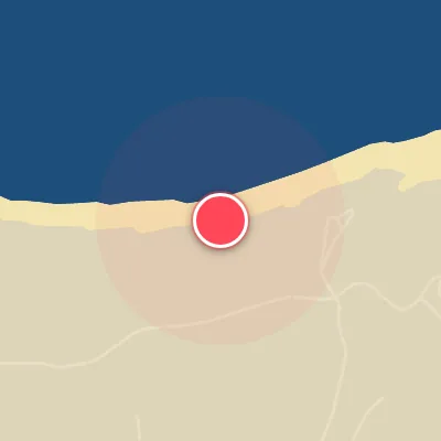
Map
Map
Louro
Today's Surf Conditions at Louro
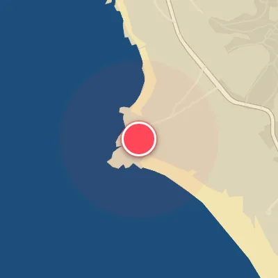
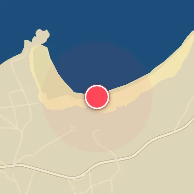
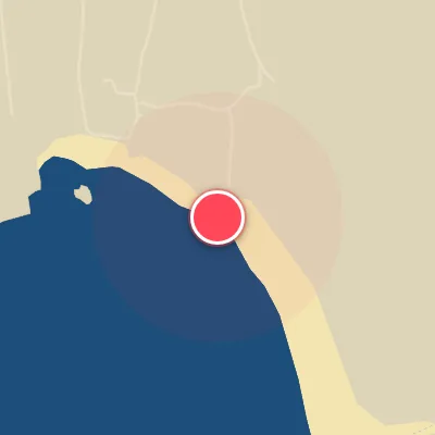
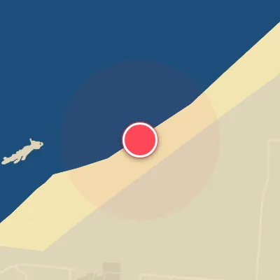
Spot Conditions Map
Hover over the hourly chart columns to update the wind & swell direction overlays on the map.
Today's Surf & Wind Forecast (Hourly)
Loading forecast text...
Best Surf Season & Climatology
Best Surf Season (October - March)
The winter months deliver the most consistent and powerful surf to Louro. As the North Atlantic storm track ramps up, a barrage of low-pressure systems sends long-period swell toward the Galician coast. Average wave heights consistently range between 1.5m and 1.8m, with periods often exceeding 12 seconds – that's punchy, organized swell that lights up the beach. The predominant swell directions are from the W to NW quadrant, but when the energy shifts into the SW or SSW window, Louro’s SW-facing orientation really shines. Offshore winds from the N, NNE, and NE occur roughly 41% of the time, often linked to high pressure building over the Bay of Biscay. This combo of solid groundswell and clean, offshore flow makes for classic, hollow peaks. The NAO index is often negative or neutral during these months, favoring a southerly storm track that feeds powerful SW swells directly into the spot.
Fair Surf Season (April - May & September)
Shoulder months bring a trade-off: smaller but still fun waves with a higher likelihood of sunny skies and lighter winds. In April and May, average wave heights drop to 1.0-1.3m and periods shorten to 8-9.5 seconds, meaning more grovelling or rippable conditions on a good day. The dominant swell continues from the W and NW, but the window for optimal SW swell narrows. Wind-wise, the percentage of ideal offshore conditions holds around 38-39%, with a slight increase in variable or lighter regimes. September sees a resurgence as autumn storms begin to spin up; wave heights climb back to 1.0m and periods to 8.8s, with more frequent SW swell events. This month can produce surprisingly good sessions before the winter frenzy begins.
Low Surf Season (June - August)
Summer in Louro is characterized by a distinct lack of swell. The North Atlantic storm track retreats northward, leaving behind a persistent pattern of weak, short-period windswell. Average wave heights hover around 0.8-0.9m and periods drop to 7.1-7.4 seconds – small, weak and often choppy. Most of the energy comes from the NW and NNW quadrants, which are far from ideal for this SW-facing beach. The good news is that offshore winds from the N through NE are common, thanks to the thermal low-pressure system over the Iberian Peninsula. However, the swell is simply too small to generate quality waves on most days. Don't expect much unless a rare tropical or distant storm sends a pulse of longer-period swell. Still, a grovel board and low expectations can yield a few fun, small waves in the early mornings before the sea breeze kicks in.
Detailed Surf Information for Louro
Detailed Surf Forecast
Access our detailed 8-day swell and wind forecast charts for Louro with tidal graphs, period ranges, and daily forecast text summaries.
Swell & Wind Statistics
Explore historical swell consistency, wave heights, and offshore wind windows month-by-month, compiled from over 40 years of data.
Historical Surf Report
Browse the historical database archives to view past wave reports and understand spot climatology during specific years and months.