Map
Map
Maceda
Today's Surf Conditions at Maceda
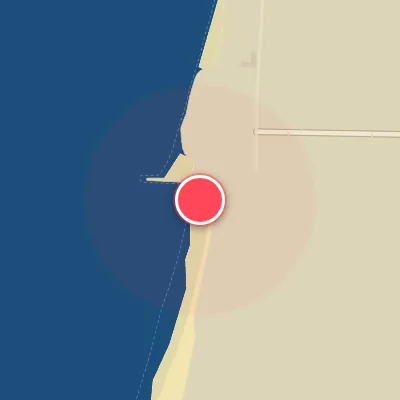
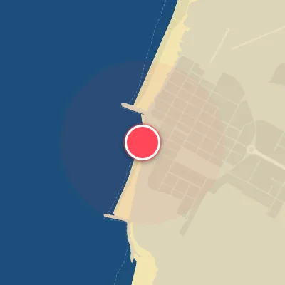
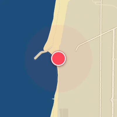
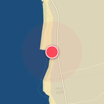
Spot Conditions Map
Hover over the hourly chart columns to update the wind & swell direction overlays on the map.
Today's Surf & Wind Forecast (Hourly)
Loading forecast text...
Best Surf Season & Climatology
Best Surf Season (October - March)
The North Atlantic roars to life during the late autumn and winter months, and Maceda sits right in the firing line. From October through March, average swell heights climb to a solid 1.4m to 1.8m, with long-period energy averaging 11-12.7 seconds. The predominant swell directions—WNW, NW, and W—align perfectly with the beach's west-facing exposure, delivering powerful, well-organized lines. Ideal wind conditions peak during this window, with favorable offshore flow (often from the east or northeast) occurring 36% to 48% of the time, especially in December and January when high pressure over continental Europe sets up crisp, clean mornings. Storms tracking across the North Atlantic inject consistent groundswell, and the combination of solid size and offshore winds makes this the prime time for quality surf.
Fair Surf Season (April & September)
April and September serve as transitional bridges between the high-energy winter pattern and the sleepy summer lull. Swell heights average 1.1m to 1.3m, with periods dropping to 10.4-10.9 seconds—still rideable but lacking the punch of winter. The swell window remains active, with WNW and NW providing most of the energy, but the wind becomes more fickle. Ideal wind percentages fall to 24-28%, as spring and autumn's shifting pressure gradients bring a mix of offshore and onshore flow. While you won't score pumping all-day sets, these months offer fun, rippable waves on the right days, especially when a passing low-pressure system aligns with lighter east winds.
Low Surf Season (May - August)
Summer settles in with a thud for Maceda. From May through August, average swell heights drop below 1.1m and periods shorten to 8.8-9.9 seconds, reflecting a lack of strong low-latitude storms. The dominant swell directions shift to NW and even NNW, delivering weaker, short-period windswell that often struggles to break cleanly on the beach. The NAO typically settles into a positive phase, locking in a persistent north-northwest wind pattern. Ideal wind conditions plummet to 9-21%, with frequent onshore breezes from the west or north-northwest ruining the texture. Most days are small and bumpy—best left for longboards or other activities. However, occasional pulses of longer-period NW energy can still produce fun, grovelable waves, especially with a rare east wind early in the morning.
Detailed Surf Information for Maceda
Detailed Surf Forecast
Access our detailed 8-day swell and wind forecast charts for Maceda with tidal graphs, period ranges, and daily forecast text summaries.
Swell & Wind Statistics
Explore historical swell consistency, wave heights, and offshore wind windows month-by-month, compiled from over 40 years of data.
Historical Surf Report
Browse the historical database archives to view past wave reports and understand spot climatology during specific years and months.