Map
Map
Mount Maunganui
Today's Surf Conditions at Mount Maunganui
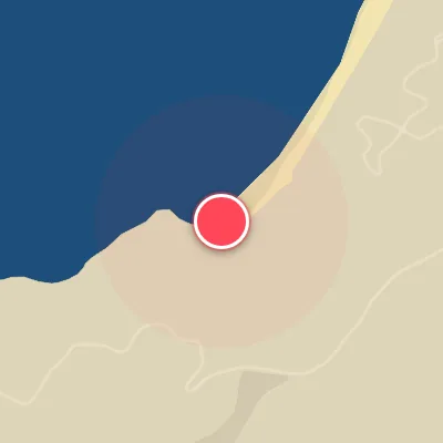
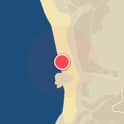
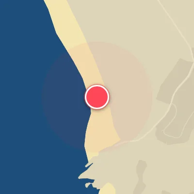
Spot Conditions Map
Hover over the hourly chart columns to update the wind & swell direction overlays on the map.
Today's Surf & Wind Forecast (Hourly)
Loading forecast text...
Best Surf Season & Climatology
Best Surf Season (May - August)
Winter delivers the most consistent and surfable conditions at Mount Maunganui. The Tasman Sea and Southern Ocean fire up with a parade of deep low-pressure systems, generating a steady stream of mid-period swell from the NE quadrant. Ideal offshore winds from the SW through W quadrant blow over 48% of the time, grooming the waves into clean, rippable lines. Average wave heights sit around 1.3m – solid fun-size to head-high – and though periods dip slightly to 8-9 seconds, the combo of reliable swell and favorable wind makes this the go-to window.
Fair Surf Season (March - April & September - November)
During the transitional months, the balance shifts. Swell directions remain favorable from NE to ENE, but the wind becomes a coin flip. The percentage of offshore wind drops to 40-44%, with more frequent onshore NE breezes mixing in. Swell heights average 1.1-1.2m and periods are moderate (7-9s). You'll find plenty of fun sessions, but you need to pick your windows – early mornings often score the cleanest conditions before the seabreeze kicks in.
Low Surf Season (December - February)
Summer brings the highest percentage of onshore NE winds – the same direction as the dominant swell. This creates a classic windswell scenario: waves are often bumped out, choppy, and less user-friendly. Ideal wind drops to 36-39%, and although the swell direction is perfect (NE-ENE), the lack of quality wind limits good surf. Wave heights average 1.1-1.2m with longer periods near 9 seconds – the potential is there, but you've got to chase the rare day when a SW wind change or a tropical low aligns.
Detailed Surf Information for Mount Maunganui
Detailed Surf Forecast
Access our detailed 8-day swell and wind forecast charts for Mount Maunganui with tidal graphs, period ranges, and daily forecast text summaries.
Swell & Wind Statistics
Explore historical swell consistency, wave heights, and offshore wind windows month-by-month, compiled from over 40 years of data.
Historical Surf Report
Browse the historical database archives to view past wave reports and understand spot climatology during specific years and months.