Map
Map
Oceanside
Today's Surf Conditions at Oceanside
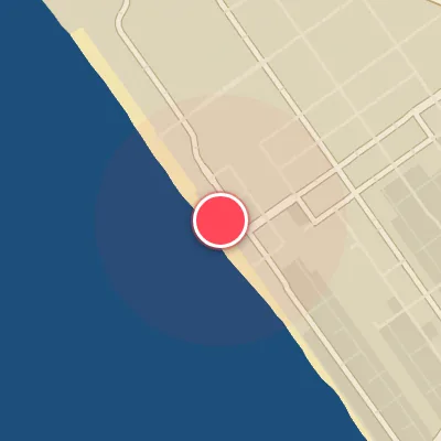
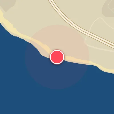
Spot Conditions Map
Hover over the hourly chart columns to update the wind & swell direction overlays on the map.
Today's Surf & Wind Forecast (Hourly)
Loading forecast text...
Spot Overview & Description
Oceanside Beach serves up a classic Southern California beachbreak, anchored by the iconic Oceanside Pier. The sandbars shift with the seasons, creating punchy peaks that peel both left and right. While the pier itself can produce a wedgey, more defined wave, the stretch of beach to the south often offers cleaner shoulders and more open faces. This spot shines with a west or northwest swell, and the best shape typically comes on a rising or mid-rising tide when the wind is light or offshore. It’s a reliable option for intermediate and advanced surfers, offering quick, rippable walls that can handle a range of conditions.
Best Surf Season & Climatology
Best Surf Season (December - February)
The heart of winter unleashes the North Pacific's fury upon Oceanside. Powerful extratropical storms churning near the Aleutians send long-period, west-to-southwest groundswells marching into the Southern California Bight. With the average wave period hovering near 12.6 seconds and swell heights consistently in the 1.0 to 1.5m range, the ocean has both push and shape. The key to quality? Offshore flow from the northeast quadrant dominates over half the time—January boasts a 52% window of clean offshores. That means groomed faces, hollow barrels along the pier, and rippable walls at the river mouth. It's the closest Oceanside gets to a consistent, world-class setup.
Fair Surf Season (November, March, October)
The shoulder months still deliver decent energy, but reliability starts to waver. November sees the transition into winter, with offshore winds clocking in at 42%—still workable—and the swell mix already shifting toward the W/SW quadrant. March brings a slight uptick in swell height (1.1m average) but offshore wind drops to 28%, meaning more days with bumpy conditions. October marks the beginning of the ramp-up, with the first solid NW Pacific swells arriving, but the wind is still fighting a seasonal transition—only 26% clean offshores. During these months, you'll need to pick the windows carefully, but when a high-pressure system sets up over the Great Basin, the result can be glassy, long-period surf that rivals the peak winter.
Low Surf Season (April - September)
Spring and summer bring a stark shift. The North Pacific storm track retreats, leaving Oceanside starved for consistent groundswell. April's average swell height is 1.1m, but the wind window shrinks to just 18%, and by June it bottoms out at a dismal 4%. The dominant swell direction swings far south (SSW to SW) as Southern Hemisphere storms generate pulses, but the beach's southwest exposure struggles to wrap in those waves effectively. Most days are small and wind-affected—waist-high or less, with bumpy texture from the prevailing onshore westerlies. The rare exception is a late-season hurricane swell or a lingering winter groundswell in April. If you're looking for quality, you'll be better off chasing dawn patrols or heading north to more exposed points.
Detailed Surf Information for Oceanside
Detailed Surf Forecast
Access our detailed 8-day swell and wind forecast charts for Oceanside with tidal graphs, period ranges, and daily forecast text summaries.
Swell & Wind Statistics
Explore historical swell consistency, wave heights, and offshore wind windows month-by-month, compiled from over 40 years of data.
Historical Surf Report
Browse the historical database archives to view past wave reports and understand spot climatology during specific years and months.