Map
Map
Praia da Vieira
Today's Surf Conditions at Praia da Vieira
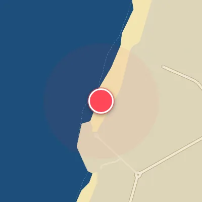
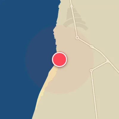
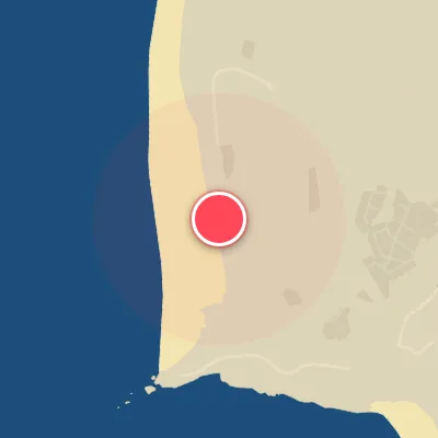
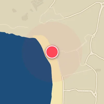
Spot Conditions Map
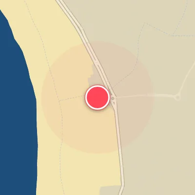
Hover over the hourly chart columns to update the wind & swell direction overlays on the map.
Today's Surf & Wind Forecast (Hourly)
Loading forecast text...
Best Surf Season & Climatology
Best Surf Season (October - March)
The North Atlantic roars to life during these months, with a sharp increase in the frequency and intensity of extratropical cyclones tracking across the North Atlantic. This drives a relentless supply of long-period swell from the west-northwest to northwest, which aligns perfectly with Praia da Vieira's west-northwest exposure. Average swell heights consistently hover between 1.8m and 2.4m with average periods often exceeding 12 seconds, producing powerful, well-organized lines. The percentage of ideal offshore wind days peaks during this window—reaching 37% in January and December—thanks to the frequent setup of high pressure over the continent or the Azores, which channels clean easterly flow. When the synoptic pattern aligns, you can score glassy, pumping surf with light offshore winds and bluebird skies.
Fair Surf Season (April & September)
These shoulder months represent a transition. In April, the North Atlantic storm track begins to weaken but still delivers solid swell, with average heights around 1.8m and periods near 11s. Swell direction shifts more toward the northwest and north-northwest, still wrapping into the spot. However, the percentage of ideal east wind drops to 21% as the Azores High begins to strengthen and the thermal low over Iberia starts to generate more afternoon sea breezes. September sees the return of longer-period WNW swell (average 1.5m, 10.5s) as the first autumn storms flicker to life. Wind conditions improve slightly (18% ideal), but summer's northerly regime still lingers, often mixing in onshore pulses. Both months can deliver fun, rippable waves, but consistency and quality are more hit-or-miss than winter.
Low Surf Season (May - August)
Summer brings a dramatic shift in the North Pacific/Atlantic weather pattern. The Azores High becomes dominant, pushing the storm track far to the north. Swell becomes predominantly short-period, windswell-driven from the north and northwest, with average heights dropping to 1.3-1.5m and periods barely reaching 10s. The percentage of offshore easterly wind plunges to as low as 5% in July and 7% in August. Instead, the persistent northerly and northwesterly winds—onshore and cross-shore at this west-northwest facing beach—ruin wave quality. Most days are small, choppy, and wind-affected. Surfable days do exist, especially when a rare distant south-west swell wraps in or when early morning land breezes briefly clean up the north-northwest windswell, but they are few and far between. Expect groveling conditions and a lot of flat spells during these months.
Detailed Surf Information for Praia da Vieira
Detailed Surf Forecast
Access our detailed 8-day swell and wind forecast charts for Praia da Vieira with tidal graphs, period ranges, and daily forecast text summaries.
Swell & Wind Statistics
Explore historical swell consistency, wave heights, and offshore wind windows month-by-month, compiled from over 40 years of data.
Historical Surf Report
Browse the historical database archives to view past wave reports and understand spot climatology during specific years and months.