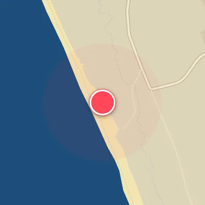
Map
Map
Praia do CDS
Today's Surf Conditions at Praia do CDS
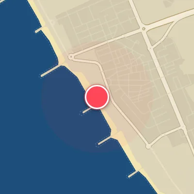
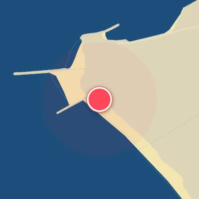
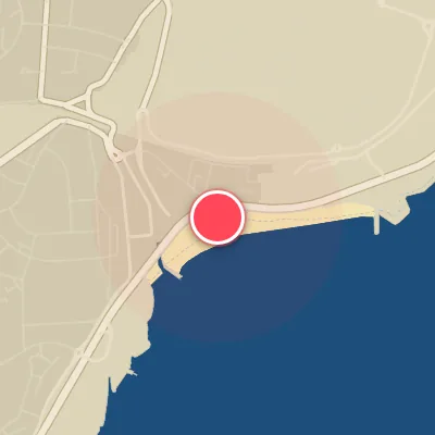
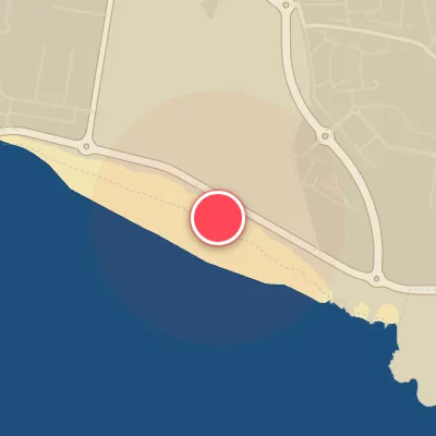
Spot Conditions Map
Hover over the hourly chart columns to update the wind & swell direction overlays on the map.
Today's Surf & Wind Forecast (Hourly)
Loading forecast text...
Best Surf Season & Climatology
Best Surf Season (October - April)
The winter months deliver the most consistent swell energy to Praia do CDS, courtesy of a relentless parade of North Atlantic low-pressure systems. Average wave heights consistently exceed 1.5m, with periods regularly pushing into the 12-13 second range — powerful, long-period groundswells that wrap into the beach. The east-northeast-facing orientation means the best swell aligns from the west-northwest to northwest, while a negative NAO index often locks in the ideal offshore wind pattern from the southwest to west. However, during these months, onshore winds from the east-northeast are also common, cutting down the ideal wind window to about 23-35% of the time. Still, when the stars align, this is when Praia do CDS truly fires with pumping, pitching waves.
Fair Surf Season (May & September)
The shoulder months offer a trade-off: smaller, but cleaner surf. Average swell heights drop to around 1.2m in May and 1.1m in September, with periods settling into the 10-10.5-second range — fun-sized, rippable waves on the better days. The likelihood of offshore winds (from the southwest through west) increases to 33-35%, meaning more glassy mornings. However, the swell becomes more windswell-dominated, and the long-period groundswells that make winter epic are less frequent. These months are perfect for groveling on small craft if you time the swell windows.
Low Surf Season (June - August)
Summer is a tough time for consistent surf at Praia do CDS. The North Atlantic storm track retreats northward, and average swell heights hover around 1.0-1.1m with periods under 9.5 seconds — primarily short-period, local windswell. The predominant wind pattern becomes the northerly ‘Nortada’ trade wind, which blows strong and steady (often 20-30+ kph) from the north to northwest. While these winds are not directly onshore (the beach faces ENE), they create a choppy, messy sea state when combined with the weak, short-period swell. Ideal wind days from the west-southwest are rare, dropping to around 26-27% of the time. Only the occasional summer groundswell from a southern hemisphere storm or a rare tropical system can salvage a session, but these are few and far between.
Detailed Surf Information for Praia do CDS
Detailed Surf Forecast
Access our detailed 8-day swell and wind forecast charts for Praia do CDS with tidal graphs, period ranges, and daily forecast text summaries.
Swell & Wind Statistics
Explore historical swell consistency, wave heights, and offshore wind windows month-by-month, compiled from over 40 years of data.
Historical Surf Report
Browse the historical database archives to view past wave reports and understand spot climatology during specific years and months.