Map
Map
Shipwreck Bay
Today's Surf Conditions at Shipwreck Bay
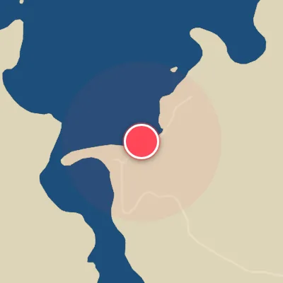
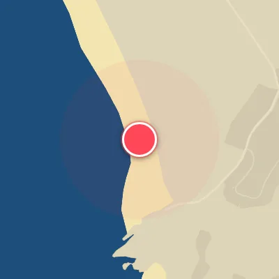
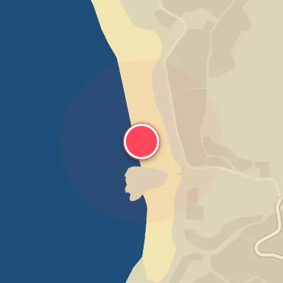
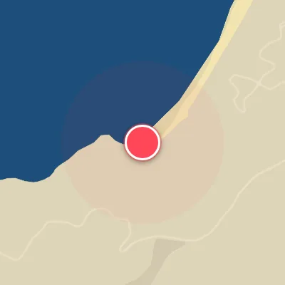
Spot Conditions Map
Hover over the hourly chart columns to update the wind & swell direction overlays on the map.
Today's Surf & Wind Forecast (Hourly)
Loading forecast text...
Best Surf Season & Climatology
Best Surf Season (December - February)
Shipwreck Bay fires best when the summer sun brings a higher frequency of offshore winds from the south. The ideal wind percentage peaks around 30-34% during these months, allowing the dominant SW swell to be groomed into clean, punchy lines. Swell heights average 1.6-1.7m (fun to solid), and with an average period of 11.7-12.2s, the waves have enough power for a rippable session. Though north swells remain rare, the occasional northwest pulse can deliver stand-out days.
Fair Surf Season (March - May & October - November)
Spring and autumn see a transition in the surf climate. March still offers decent offshore wind odds (29%), and the swell average climbs to 1.8-2.2m as the Southern Ocean kicks into gear. By May, ideal wind drops to 21% and onshore winds from the north become more frequent, making it a game of timing. October and November bring a slight recovery in wind quality (20-25%) and average swell heights around 1.9-2.1m, with longer periods (12-12.6s) that can yield powerful walls when the wind aligns.
Low Surf Season (June - September)
Winter rules the roost from June through September, hammering the bay with consistent 2.2-2.3m SW swell. The trade-off: ideal wind plummets to 18-19%, and onshore northerlies dominate, chopping up the surface. While the swell has serious period (12.2-12.7s), the quality is often marred by bumpy conditions. North swell frequencies tick up slightly (especially June at 4.8%), but the window for clean surf is narrow and reserved for those chasing the rare cold-front passage.
Detailed Surf Information for Shipwreck Bay
Detailed Surf Forecast
Access our detailed 8-day swell and wind forecast charts for Shipwreck Bay with tidal graphs, period ranges, and daily forecast text summaries.
Swell & Wind Statistics
Explore historical swell consistency, wave heights, and offshore wind windows month-by-month, compiled from over 40 years of data.
Historical Surf Report
Browse the historical database archives to view past wave reports and understand spot climatology during specific years and months.