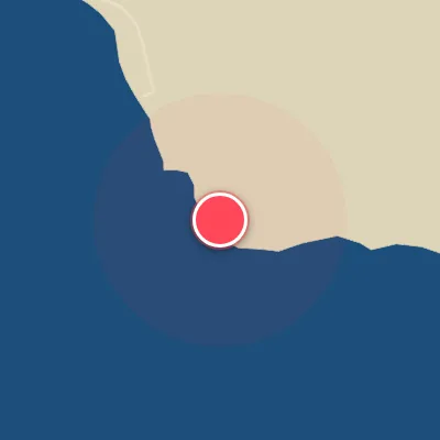
Map
Map
Troncones
Today's Surf Conditions at Troncones
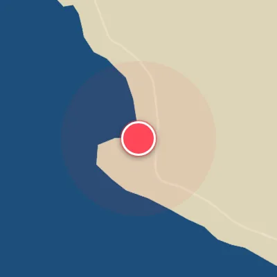
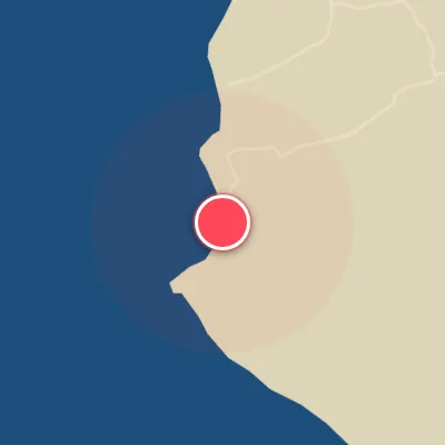
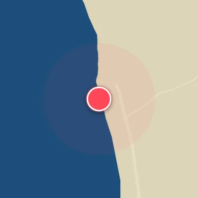
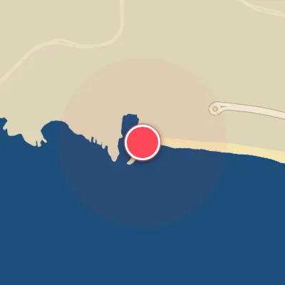
Spot Conditions Map
Hover over the hourly chart columns to update the wind & swell direction overlays on the map.
Today's Surf & Wind Forecast (Hourly)
Loading forecast text...
Spot Overview & Description
Troncones is a mellow, sun-bleached stretch of sand just south of Manzanillo, where relaxed vibes and raw Costa Grande beauty take center stage. A 5-kilometer crescent of beach is dotted with rocky outcrops that sculpt shifting sandbar peaks along the shore, giving the break a moody, fickle personality. When conditions align, it’s the right reef at the southern end that steals the show and pulls in the crowds. The magic happens under a moderate southwest swell, with the zone holding up to about 3 feet. Waves peel over an uneven reef bed, offering both lefts and rights—though the rights tend to be the main draw, wrapping cleanly off the rocks. Northeast winds are your best friend here, grooming the surface for peaky, rideable lines. This spot is best suited for intermediate surfers who can read the shifting bars and adjust to the reef. Tide-wise, aim for low to mid-high to maximize the shape. Swell can come from south and northwest directions, adding variety, but keep an eye on the sky—conditions can flip quickly, rewarding those who pay attention. On a good day, Troncones serves up a unique, off-the-beaten-path session that’s well worth the paddle.
Best Surf Season & Climatology
Best Surf Season (November - February)
This is Troncones’ sweet spot. As the North Pacific winter pattern settles in, the trade wind inversion weakens, allowing frequent offshore breezes from the N-NE quadrant. Swell heights average a solid 1.2-1.3m with long-period groundswell (13-14s) sourced from distant Southern Ocean storms and the occasional North Pacific fetch that wraps into the SSW shore. The result? Powerful, clean lines that peel down the beach. December and January peak with over 50% ideal wind, making for consistent, rippable waves.
Fair Surf Season (March, April, October)
Transition months bring a trade-off. In March and October, you still get reliable pulses of SSW-SW swell, but the wind becomes a gamble. Offshore mornings are common, but afternoons see increasing onshore flow from the S-SW. April sees the swell ramp up (1.4m average) and periods lengthen, but ideal wind drops to 32% – meaning you’ll need to pick your windows carefully. These months are worth chasing if you time the morning offshore window or a post-frontal shift.
Low Surf Season (May - September)
The summer doldrums and hurricane season bring the largest swell of the year (1.5-1.7m average) with plenty of punch, but the wind is persistently onshore from the S-SW over 60% of the time. Dominant wind directions (SW, WSW) destroy the wave shape, making for choppy, bumpy conditions. While you might score a clean morning if a tropical storm passes far to the south and creates a window of offshore flow, most days are ruled by textured, subpar surf. The occasional hurricane swell can deliver XXL waves, but only for the brave and experienced – and only if the wind cooperates.
Detailed Surf Information for Troncones
Detailed Surf Forecast
Access our detailed 8-day swell and wind forecast charts for Troncones with tidal graphs, period ranges, and daily forecast text summaries.
Swell & Wind Statistics
Explore historical swell consistency, wave heights, and offshore wind windows month-by-month, compiled from over 40 years of data.
Historical Surf Report
Browse the historical database archives to view past wave reports and understand spot climatology during specific years and months.