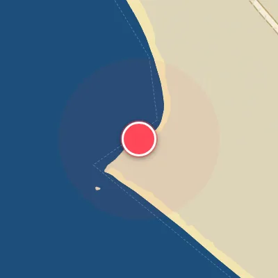
Map
Map
Chacahua
Today's Surf Conditions at Chacahua
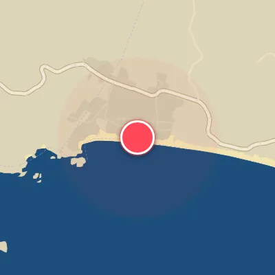
Spot Conditions Map
Hover over the hourly chart columns to update the wind & swell direction overlays on the map.
Today's Surf & Wind Forecast (Hourly)
Loading forecast text...
Best Surf Season & Climatology
Best Surf Season (May - September)
As the North Pacific high-pressure system strengthens and the Intertropical Convergence Zone shifts north, Chacahua comes alive. The southern hemisphere's winter storm track pumps consistent, long-period groundswells from the S and SSW directly into our SSW-facing beach. With average wave heights hovering around 1.6m and periods stretching well into the 13-14 second range, the surf is consistently in the fun to pumping category. The real kicker? Offshore winds from the N, NNE, and NE are frequent, with ideal wind percentages climbing to 53-65%. This is prime time – expect clean, lined-up sets perfect for firing lefts and rights. The occasional tropical disturbance can add an extra boost, keeping the energy high throughout these months.
Fair Surf Season (April, October, November)
These transitional months offer a mixed bag but plenty of hidden gems. April sees the swell direction shifting from winter's ENE-E patterns to the more favorable S and SSW, with the average height reaching 1.5m and periods of 14.0s – some of the longest of the year. However, the wind is more fickle, with only 31% ideal in April, often plagued by afternoon onshores from the WSW and W. October and November offer a similar story: solid swell (1.3-1.5m, 12.7-13.3s) and improving wind consistency (57-62% ideal). These months are a surfer's gamble – when the offshore wind aligns with a strong S swell, the waves can be world-class. Be patient and pick your windows.
Low Surf Season (December - March)
Winter months bring a different character to Chacahua. The dominant swell shifts to easterly quadrants (ENE, E, ESE) as strong cold fronts and high-latitude storms track further north. While these swells can wrap in, they're often smaller (averaging 1.2-1.4m) and less consistent, with periods in the 11-13s range. The wind still blows favorably from the N and NW about 38-59% of the time, but the swell quality takes a hit. Expect more small, fun-sized days with occasional punchy sets from a long-period S pulse. It's not a write-off – dawn patrol can still deliver glassy conditions – but the energy is noticeably lower. This is the time for groveling and working on your cutbacks, not chasing bombs.
Detailed Surf Information for Chacahua
Detailed Surf Forecast
Access our detailed 8-day swell and wind forecast charts for Chacahua with tidal graphs, period ranges, and daily forecast text summaries.
Swell & Wind Statistics
Explore historical swell consistency, wave heights, and offshore wind windows month-by-month, compiled from over 40 years of data.
Historical Surf Report
Browse the historical database archives to view past wave reports and understand spot climatology during specific years and months.