Map
Map
El Frontan
Today's Surf Conditions at El Frontan
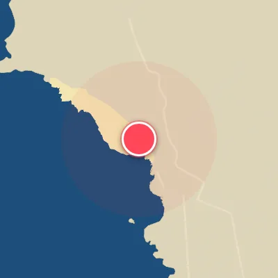
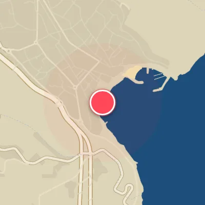
Spot Conditions Map
Hover over the hourly chart columns to update the wind & swell direction overlays on the map.
Today's Surf & Wind Forecast (Hourly)
Loading forecast text...
Spot Overview & Description
El Frontón sits just east of La Guancha, a notoriously heavy reef slab that unloads over an uneven, jagged bottom. The wave offers both lefts and rights, but the right is the standout—a more groomed, critical barrel that wraps with precision. The left, depending on swell angle, can be equally menacing, often pitching square, mutant tubes that detonate violently across the shelf. This is not a forgiving wave; expect fast-closing, shallow barrels that demand commitment and skill. Swell from the north-northwest with an east component works best, and lower tides tend to sharpen the already intense reef exposure. Best suited for advanced to expert surfers willing to trade comfort for sheer, raw power.
Best Surf Season & Climatology
Best Surf Season (October - March)
The North Atlantic roars to life during these months, delivering a consistent barrage of powerful NW and NNW swells that hit El Frontan's exposed Nord-Nord-West facing shoreline with precision. Average swell heights hover between 1.5m and 1.6m with periods frequently exceeding 12 seconds, translating into long-period, powerful lines. The key to quality lies in the wind: the winter months see an increased frequency of offshore winds from the S, SSW, and SW quadrant, providing clean, groomed faces. December stands out with a 28% chance of offshore conditions, while January and February still offer solid windows. The NAO index often dictates the storm track; a negative NAO can enhance northern swell trains to this corner of Spain. This is prime time for rippable, hollow waves in the 1-2.5m range, with occasional XXL days when deep lows form off Greenland.
Fair Surf Season (April & September)
These shoulder months offer a mixed bag. Swell energy remains moderate, with April averaging 1.4m at 10.8 seconds and September 1.2m at 10.1 seconds. The shift in atmospheric patterns brings persistent but lighter northeasterly winds, cutting offshore windows to just 5-7%. However, when a passing high pressure aligns with a southerly land breeze, the conditions can become surprisingly good. The longer-period swell trains from distant storms still occasionally penetrate, offering solid, clean waves for the early or late season surfer willing to gamble on wind.
Low Surf Season (May - August)
Summer is a challenge for the dedicated surfer at El Frontan. The Azores High dominates, suppressing storm activity and driving relentless NE and NNE winds that blow onshore or cross-shore, ruining wave quality. Ideal offshore wind percentages drop to less than 3%, with July hitting a absolute zero. Swell heights are deceptive; while averages stay around 1.3-1.5m, the period plummets to 7-9 seconds, resulting in short, weak, and choppy waves. The swell direction is almost exclusively from the NNE, a direction that can produce waves but often with poor shape due to the prevailing wind. Only during rare tropical storm remnants or very weak southerly breezes might a tiny window of fun-sized, groveling conditions appear. This is definitely the time to travel or take a break from the local lineup.
Detailed Surf Information for El Frontan
Detailed Surf Forecast
Access our detailed 8-day swell and wind forecast charts for El Frontan with tidal graphs, period ranges, and daily forecast text summaries.
Swell & Wind Statistics
Explore historical swell consistency, wave heights, and offshore wind windows month-by-month, compiled from over 40 years of data.
Historical Surf Report
Browse the historical database archives to view past wave reports and understand spot climatology during specific years and months.