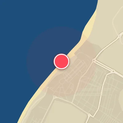
Map
Map
Las Salinas
Today's Surf Conditions at Las Salinas
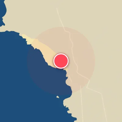
Spot Conditions Map
Hover over the hourly chart columns to update the wind & swell direction overlays on the map.
Today's Surf & Wind Forecast (Hourly)
Loading forecast text...
Best Surf Season & Climatology
Best Surf Season (October - March)
The heart of the North Atlantic storm track delivers its most consistent and powerful swell to Las Salinas from late autumn through early spring. During these months, the average wave height hovers around 1.6-1.7m with long-period groundswells averaging 12-13 seconds, providing the foundation for epic sessions. The prevailing wind regime is dominated by high-pressure systems over the Bay of Biscay and Iberian Peninsula, funnelling offshore and cross-offshore flows from the NNE and N quadrants. This alignment brings clean, groomed waves to the SSW-facing beach, especially when the infamous 'Tramontana' or cold northerly outbreaks kick in. While the sheer volume of swell from the NNW is massive, the best days come when a low-pressure system tracks south of the Azores, feeding in longer-period SW energy that wraps perfectly into the corner. Expect pumping, hollow walls in the 1.5-2.5m range during peak winter months, with occasional XL sessions when the North Atlantic roars.
Fair Surf Season (April - May & September)
As the North Atlantic gradually loses its bite and the summer subtropical ridge expands, the surf takes on a more transitional character. In April and May, average heights drop to 1.4-1.6m and wave periods shorten to 9.6-11s, signifying a shift toward windswell and weaker groundswells. The wind regime becomes increasingly influenced by thermal gradients, with the NNE and N trades strengthening but also clocking more NE. The percentage of ideal wind drops to 20-24%, yet mornings still offer clean, grovelly conditions on the smaller days. September marks the beginning of the rebound: the ocean warms and the first autumn low-pressure systems start to form. Average swell height holds at 1.2m but the period rebounds to 10s, and the ideal wind percentage jumps back to 28% as high-pressure ridges provide light offshore flows. This is a classic 'shoulder season'—fewer big days, but the chance to score fun, rippable waves with smaller crowds.
Low Surf Season (June - August)
Summer descends upon Las Salinas with the weakest surf conditions of the year. The North Atlantic storm track retreats far north, leaving the region to rely on weak westerly swell pulses and local thermal windswell. Average wave heights settle between 1.3-1.4m and periods drop to a marginal 7.6-8.5s, resulting in choppy, mushy lines that rarely break cleanly over the sandbars. The wind picture is the real killer: persistent, strong northerly trades (N and NNE) howl at 20-40kph for days on end, creating blown-out, bumpy surface conditions. The ideal wind percentage plummets to a mere 3-14%, meaning only the infrequent early morning or evening lulls offer a window of opportunity. While the water is warm and the beach beckons swimmers, surfers will find little to get excited about. Occasional fun-sized waves can appear when a passing tropical system or a rare southerly low nudges energy our way, but these are outliers. Summer is best reserved for a board waxing, a cold drink, and waiting for autumn.
Detailed Surf Information for Las Salinas
Detailed Surf Forecast
Access our detailed 8-day swell and wind forecast charts for Las Salinas with tidal graphs, period ranges, and daily forecast text summaries.
Swell & Wind Statistics
Explore historical swell consistency, wave heights, and offshore wind windows month-by-month, compiled from over 40 years of data.
Historical Surf Report
Browse the historical database archives to view past wave reports and understand spot climatology during specific years and months.