Map
Map
El Porto
Today's Surf Conditions at El Porto
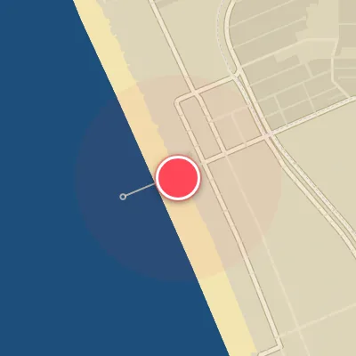
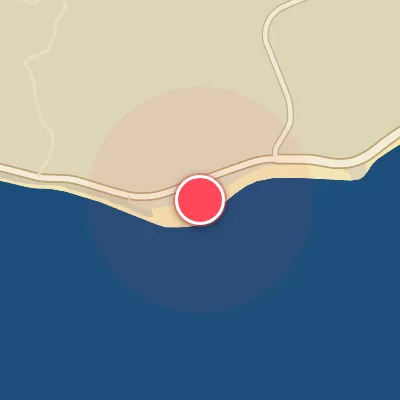
Spot Conditions Map
Hover over the hourly chart columns to update the wind & swell direction overlays on the map.
Today's Surf & Wind Forecast (Hourly)
Loading forecast text...
Spot Overview & Description
El Porto Beach serves as the South Bay’s most consistent beachbreak, a stretch of sand-bottom peaks—both lefts and rights—that fan out across the shoreline. When winter northwest swells march in, it frequently runs a few feet larger than its neighbors to the north and south, though wave quality here is more about raw power than polished perfection. On the right sandbar setup and swell alignment, expect punchy barrel sections and machine-like walls that reel for yards. But the same shifting sands can just as easily serve up a stubborn run of closeouts—the ultimate gamble for those chasing shape amidst the consistency.
Best Surf Season & Climatology
Best Surf Season (November - February)
The North Pacific winter machine fires up, sending consistent, long-period W and WSW swell toward the Southern California coast. El Porto, with its west-southwest exposure, catches the brunt of these powerful groundswells. Average wave heights hover in the 0.8-0.9m range, but pulses easily push into the 1-1.5m fun zone and occasionally punch into the 1.5-2.5m pumping range. The wind regime is at its most favorable, with offshore flow from the NE and E quadrants occurring over 45% of the time, often grooming the waves to perfection. This is the prime window for quality surf at El Porto.
Fair Surf Season (October & March - April)
The transition months offer a mix. October sees the first stirrings of winter swell, but heights are still modest (avg 0.7m) and ideal wind drops to 39%. March and April retain solid swell from W and WSW with averages around 0.9m, but the offshore wind frequency declines to 35-38%. You'll still find plenty of rideable waves, especially when a strong cold front passes and sets up clean conditions before the next onshore push.
Low Surf Season (May - September)
Summer brings a dramatic shift. Swell from the North Pacific all but disappears, replaced by weaker, shorter-period SW and WSW windswell. Average heights remain in the 0.7-0.8m range, but the dominant wind becomes onshore from the SW and W, with ideal offshore wind dropping to just 24-31%. The combination of smaller waves and frequent afternoon sea breezes makes for mostly mushy, sub-par conditions. Early mornings can still offer clean windows, but consistent quality is hard to come by.
Detailed Surf Information for El Porto
Detailed Surf Forecast
Access our detailed 8-day swell and wind forecast charts for El Porto with tidal graphs, period ranges, and daily forecast text summaries.
Swell & Wind Statistics
Explore historical swell consistency, wave heights, and offshore wind windows month-by-month, compiled from over 40 years of data.
Historical Surf Report
Browse the historical database archives to view past wave reports and understand spot climatology during specific years and months.