Map
Map
Gnaraloo
Today's Surf Conditions at Gnaraloo
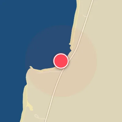
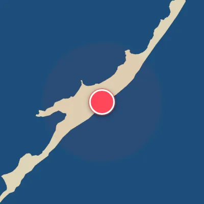
Spot Conditions Map
Hover over the hourly chart columns to update the wind & swell direction overlays on the map.
Today's Surf & Wind Forecast (Hourly)
Loading forecast text...
Best Surf Season & Climatology
Best Surf Season (April - August)
The heart of the surf season at Gnaraloo aligns with the austral winter. From April through August, the Indian Ocean and Southern Ocean roar to life, sending long-period groundswell generated by powerful extratropical storms northward. The dominant swell direction is a consistent SSW to SW, which, while not directly hitting the NW-facing beach, refracts around the coastline to deliver punchy, powerful waves. Average wave heights sit in the 1.3m to 1.6m range, but periods climb to an impressive 13-14 seconds, giving the waves real grunt. Critically, this period also sees the highest frequency of offshore winds from the S, SSW, and SW quadrants, cleaning up the swell and grooming the faces. With ideal wind conditions occurring 25-35% of the time, this is the window to score the most consistent, ridable surf.
Fair Surf Season (March & September)
March and September serve as transitional windows. In March, the lingering summer heat still drives occasional onshore breezes, but the swell period begins to lengthen towards 12-13 seconds as the first winter lows form. September sees the opposite transition – winds become more erratic as the trade wind belt shifts, yet the ocean still holds plenty of cold-water momentum from the peak winter. Ideal wind percentages hover around 17-19%, offering a fair share of clean sessions, especially when high pressure builds south of the continent.
Low Surf Season (October - February)
The summer months from October through February are the leanest for surf at Gnaraloo. The swell generating fetch weakens as the storm track retreats poleward, leading to average periods dropping to 11-12 seconds and more frequent smaller days. Even though the predominant swell remains from the SSW and SW, the wind patterns become the biggest obstacle. The region falls under the influence of the sea breeze cycle and stronger synoptic northerlies, with ideal offshore wind percentages plummeting to 9-12%. Most afternoons see onshore NW winds ruining the wave quality. Early mornings can still deliver fun, clean waves when a window of southerly wind aligns, but consistency is low. The rare exception occurs when a tropical low in the Indian Ocean pivots and sends a NW swell – that is when Gnaraloo truly lights up, but those events are few and far between.
Detailed Surf Information for Gnaraloo
Detailed Surf Forecast
Access our detailed 8-day swell and wind forecast charts for Gnaraloo with tidal graphs, period ranges, and daily forecast text summaries.
Swell & Wind Statistics
Explore historical swell consistency, wave heights, and offshore wind windows month-by-month, compiled from over 40 years of data.
Historical Surf Report
Browse the historical database archives to view past wave reports and understand spot climatology during specific years and months.