Map
Map
Ingrina
Today's Surf Conditions at Ingrina
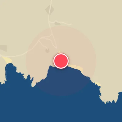
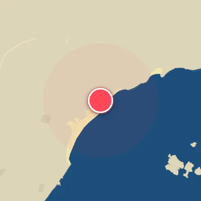
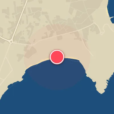
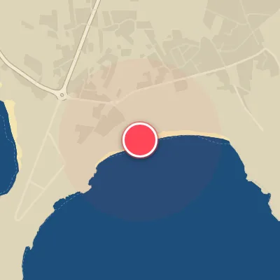
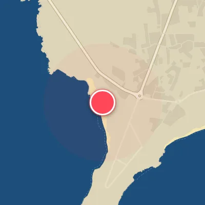
Spot Conditions Map
Hover over the hourly chart columns to update the wind & swell direction overlays on the map.
Today's Surf & Wind Forecast (Hourly)
Loading forecast text...
Best Surf Season & Climatology
Best Surf Season (October - March)
The North Atlantic roars to life during these months, with average swell heights ranging from 1.8m to 2.4m and periods frequently exceeding 12 seconds. The dominant swell direction is from the NW quadrant, which, while not directly ideal for south-facing Ingrina, still delivers powerful, long-period groundswell that wraps in and can produce clean, lined-up waves when combined with offshore winds from the north. The Azores High begins to weaken, allowing a barrage of extratropical cyclones to march across the North Atlantic, generating consistent swell trains. Wind conditions are ideal around 24-29% of the time, with strong northerly and northwesterly flows providing clean, offshore conditions. However, be mindful of stormy onshore winds from the south associated with deep lows passing to the west. Overall, this is the prime window for the biggest and most powerful surf at Ingrina.
Fair Surf Season (April - May & September)
During these shoulder months, the North Atlantic transitions. Swell heights moderate to 1.5-2.2m with periods dropping to 9-11 seconds, reflecting weakening low-pressure activity. The spring months see the Azores High building, reducing swell consistency but still offering periodic groundswell from NW. April and May feature average periods around 9-11 seconds, with wind ideal around 24-25% of the time. September stands out with the highest ideal wind percentage of 36%, as the local sea breeze patterns ease and synoptic winds become more favorable. While swell sizes are smaller, the combination of cleaner winds and still decent swell from distant storms can produce fun, rippable waves. South swell components begin to appear in September, offering more direct swell exposure.
Low Surf Season (June - August)
Summer settles in with a strong Azores High dominating the North Atlantic. Swell heights drop to an average of 1.4m and periods shorten to 8-9 seconds, primarily from short-fetch NW windswell. The south-facing orientation of Ingrina means these short-period, northwest swells struggle to produce quality waves, often resulting in small, weak, and choppy conditions. Wind conditions are ideal only 20-25% of the time, and the persistent thermal low-pressure patterns can generate strong onshore cross-shore winds. While occasional pulses of longer-period remnant swell can occur, the summer months are generally the most inconsistent and least reliable for quality surf at Ingrina. It's a time for groveling boards and enjoying the beach, but not for epic sessions.
Detailed Surf Information for Ingrina
Detailed Surf Forecast
Access our detailed 8-day swell and wind forecast charts for Ingrina with tidal graphs, period ranges, and daily forecast text summaries.
Swell & Wind Statistics
Explore historical swell consistency, wave heights, and offshore wind windows month-by-month, compiled from over 40 years of data.
Historical Surf Report
Browse the historical database archives to view past wave reports and understand spot climatology during specific years and months.