Map
Map
Kraakevika
Today's Surf Conditions at Kraakevika
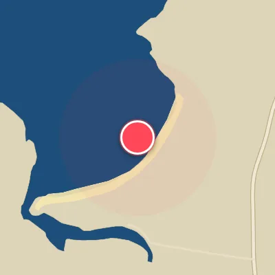
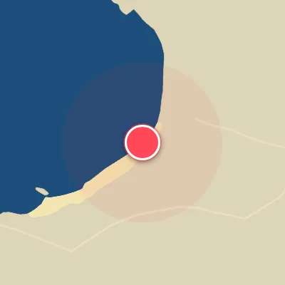
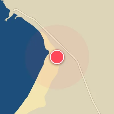
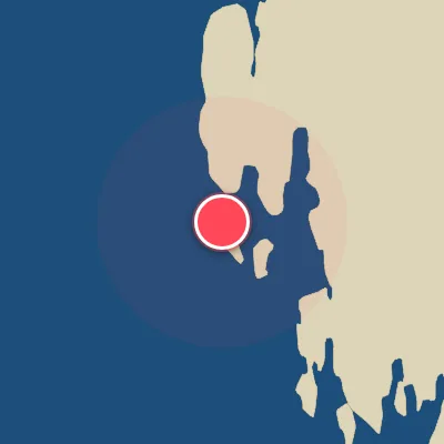
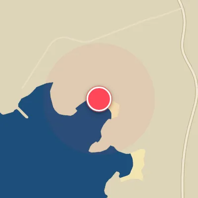
Spot Conditions Map
Hover over the hourly chart columns to update the wind & swell direction overlays on the map.
Today's Surf & Wind Forecast (Hourly)
Loading forecast text...
Best Surf Season & Climatology
Best Surf Season (October – March)
As the North Atlantic shifts into high gear, Kraakevika receives its most consistent and powerful swell during the winter months. The average wave height sits around 1.4–1.6 m with periods often exceeding 10 s, driven by deep extratropical lows that spin across the Norwegian Sea. Swell from the WSW, W, WNW, and NW quadrants – all ideal for the west-north-west exposure – dominates the directional spectrum. The NAO index plays a crucial role here: a positive NAO funnels a steady stream of vigorous depressions toward Scandinavia, unleashing long-period groundswell. However, the wind can be fickle. While the data show that offshore winds from ENE, E, ESE, and SE blow only 22–27 % of the time, the combination of large swell and a light land breeze delivers some of the best conditions of the year. When the alignment is right, expect pumping, firing waves in the 1.5–2.5 m range with a hollow, powerful shape.
Fair Surf Season (April & September)
The shoulder months offer a transition between the winter roar and the summer lull. April sees the average height drop to 1.1 m and the period to 9.4 s, while September mirrors this with 1.1 m and 8.9 s. Both months record a respectable 22–24 % of ideal wind, often from the north-east or east during fair-weather setups. Swell energy is still present from the W, WSW, and NW, but the consistency drops. These are months when a passing low can resurrect a fun, rippable session, but the window can be narrow. Wind speeds tend to be lighter as well, making it easier to find a groomed wave face.
Low Surf Season (May – August)
The summer months are the leanest for Kraakevika. From May through August, average swell heights hover between 0.7 and 0.9 m, with periods under 8 s – typical of locally generated, shorter-period windswell rather than proper groundswell. The dominant swell directions shift toward NNW and NW, which are still workable but often produce a weaker, more disorganized wave. Offshore wind frequencies drop to just 15–20 %, and the most common wind directions become NE and NNE (which, while offshore, often accompany high-pressure dominance and minimal swell). The combination of small, low-period waves and frequent onshore breeze from the WSW, W, and WNW means most days are micro or groveling at best. Only the occasional summer low can deliver a brief pulse of 1 m-plus swell, but don't expect any epic sessions. This is a time for the longboard or a beach day.
Detailed Surf Information for Kraakevika
Detailed Surf Forecast
Access our detailed 8-day swell and wind forecast charts for Kraakevika with tidal graphs, period ranges, and daily forecast text summaries.
Swell & Wind Statistics
Explore historical swell consistency, wave heights, and offshore wind windows month-by-month, compiled from over 40 years of data.
Historical Surf Report
Browse the historical database archives to view past wave reports and understand spot climatology during specific years and months.