Map
Map
Hustadvika
Today's Surf Conditions at Hustadvika
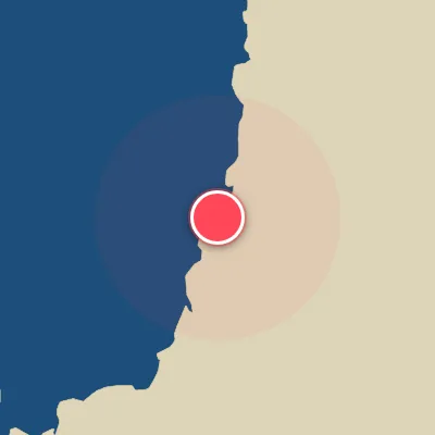
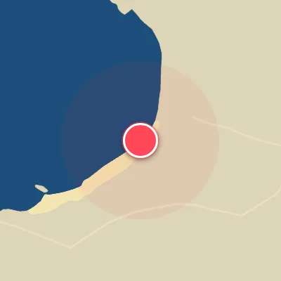
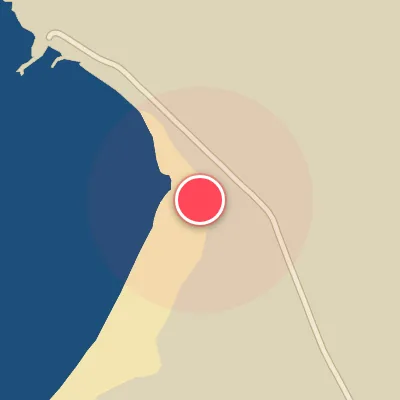
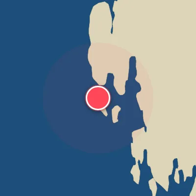
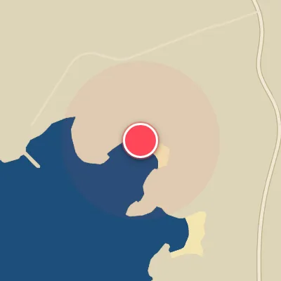
Spot Conditions Map
Hover over the hourly chart columns to update the wind & swell direction overlays on the map.
Today's Surf & Wind Forecast (Hourly)
Loading forecast text...
Spot Overview & Description
Tucked away near Molde, Hustadvika is a rugged and elusive stretch of coastline where finding the right wave requires patience and a keen eye. The breaks here are scattered and hard to read, a mix of reef and rocky ledge that only reveals its punchy potential to those willing to put in the effort. It’s a moody spot with an inconsistent pulse—don’t come expecting perfection every session, but if you’re dialed in and hungry for adventure, you can score some memorable, freight-train-like rides. The magic happens when a solid northwesterly swell lights up the ledge, with a secondary window from the southwest. Waves start showing at 2 feet (0.6 meters) and can handle a decent range of size, offering both left and right lines off the takeoff. These are expert-only waves—no room for hesitation or error. For the cleanest shape, aim for low to mid or high tide, and pair it with a southeasterly wind to smooth out the bumps. Expect a fiercely local vibe around the defined takeoff zones. Even a handful of surfers can make the lineup feel congested, and the short, sometimes frustrating rides amplify the tension when it’s busy. If you’re an advanced surfer looking to test your mettle against raw, unpredictable Norwegian conditions, Hustadvika delivers a uniquely challenging experience that rewards the dedicated few.
Best Surf Season & Climatology
Best Surf Season (October – March)
The Norwegian winter is the undisputed prime time for Hustadvika. The North Atlantic cyclone machine is in full gear, firing powerful extratropical storms directly into the Norwegian Sea. Average swell heights hover between 1.7m and 2.2m with long periods of 10–12 seconds, delivering powerful, pitching peaks along this west-northwest facing stretch. Combined with a high percentage (41-47%) of favorable offshore winds from the east and southeast quadrants, this period consistently offers clean, pumping conditions. The frequency of W, WNW, NW and NNW swell is at its annual peak, ensuring excellent wave quality.
Fair Surf Season (April & September)
These transitional months see a drop in average energy, but still hold plenty of potential. April sees average swell drop to 1.5m with a period of 10s, while September brings 1.4m at 9.5s. Ideal wind percentages moderate to 36-37%, making for more mixed – but often rideable – windows. The dominant swell directions remain favorable (W, NW, NNW) but with smaller average heights, so expect fun, punchy waves rather than the winter monsters. Early autumn (September) can get a jump start from early-season Atlantic lows, while April often delivers clean mornings before spring breezes kick up.
Low Surf Season (May – August)
The high-latitude summer is the slow season for Hustadvika. Extended daylight and milder weather come at the cost of swell consistency. Average heights bottom out at 1.0-1.2m with short, weak periods of 7.7-8.7s. The wind becomes increasingly problematic, with ideal offshore conditions dropping to just 26-32% of the time. Dominant swell directions are still from the north-northwest and west, but the lack of big Atlantic storms means mostly small, clean-lined or groveling surf. That said, occasional distant storm pulses can still produce surprise fun-sized days, especially in August when the window of opportunity widens slightly.
Detailed Surf Information for Hustadvika
Detailed Surf Forecast
Access our detailed 8-day swell and wind forecast charts for Hustadvika with tidal graphs, period ranges, and daily forecast text summaries.
Swell & Wind Statistics
Explore historical swell consistency, wave heights, and offshore wind windows month-by-month, compiled from over 40 years of data.
Historical Surf Report
Browse the historical database archives to view past wave reports and understand spot climatology during specific years and months.