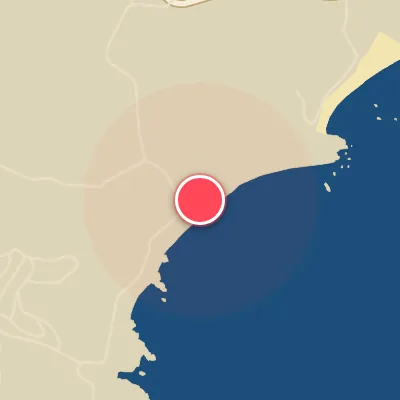
Map
Map
Kugenuma
Today's Surf Conditions at Kugenuma
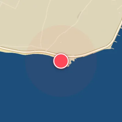
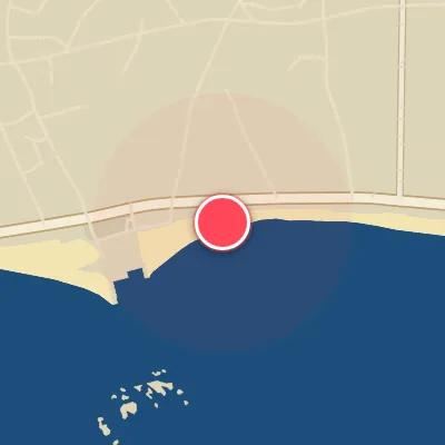
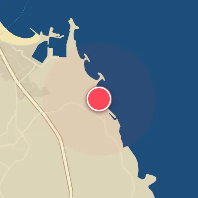
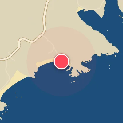
Spot Conditions Map
Hover over the hourly chart columns to update the wind & swell direction overlays on the map.
Today's Surf & Wind Forecast (Hourly)
Loading forecast text...
Best Surf Season & Climatology
Best Surf Season (September - November, March)
As the North Pacific transitions into autumn, the Jet Stream strengthens and low-pressure systems become more frequent, driving consistent, quality swell toward the coast of Japan. September through November sees the highest percentage of ideal light offshore winds at Kugenuma, peaking in October at 20%. During these months, the average wave period climbs to 8-9 seconds, indicating punchy, rideable waves. The dominant swell directions from the S, SSW, and SW align perfectly with the beach's SSW exposure, delivering fun to solid sized waves in the 1-1.5m range. Equally important, the NNE and N wind regimes dominate, grooming the surf cleanly. March is another prime month as the spring transition kicks in, with 18% ideal winds and a similar swell pattern, making it a reliable shoulder season.
Fair Surf Season (December - February, April - May)
The winter months of December through February bring the largest and most powerful swell of the year, especially from the SW, with waves often exceeding 1.5m. However, the trade-off is a higher frequency of strong onshore winds (SW, SSW) that can chop up the surface. The ideal wind percentage drops to 14-17%, but when a cold front passes and high pressure builds from the north, the conditions can turn on quickly with clean, long-period swell. In April and May, the swell activity decreases and the wave heights become more modest, averaging 0.7-0.8m. The wind patterns are shifting—NNE winds still provide offshore flow, but the increasing influence of afternoon sea breezes from the S and SSW degrades conditions. Still, morning sessions can deliver small, fun waves, especially on a southerly swell.
Low Surf Season (June - August)
Summer is the quietest time for consistent surf at Kugenuma. The Pacific high-pressure system dominates, leading to lighter, but often onshore winds. The ideal wind frequency drops to 14-16%. Swell is predominantly from the SSE and S with short, weak periods under 8 seconds, resulting in small, choppy conditions most days. However, this is also typhoon season, and the occasional tropical storm or typhoon tracking north of Japan can send a burst of long-period SE to S swell that lights up the point. These events are sporadic, but when they align with a brief window of offshore wind (N to NE), Kugenuma can offer surprisingly fun, rippable waves. For the most part, though, expect micro-sessions and groveling conditions throughout the summer months.
Detailed Surf Information for Kugenuma
Detailed Surf Forecast
Access our detailed 8-day swell and wind forecast charts for Kugenuma with tidal graphs, period ranges, and daily forecast text summaries.
Swell & Wind Statistics
Explore historical swell consistency, wave heights, and offshore wind windows month-by-month, compiled from over 40 years of data.
Historical Surf Report
Browse the historical database archives to view past wave reports and understand spot climatology during specific years and months.