Map
Map
Lacanau
Today's Surf Conditions at Lacanau
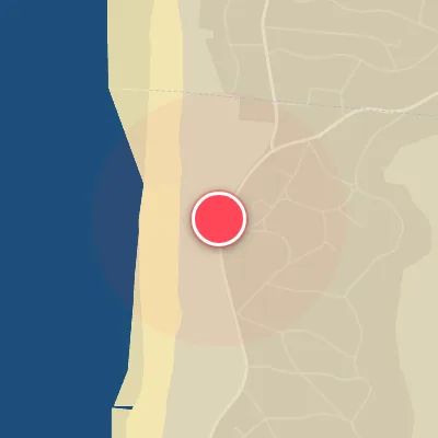
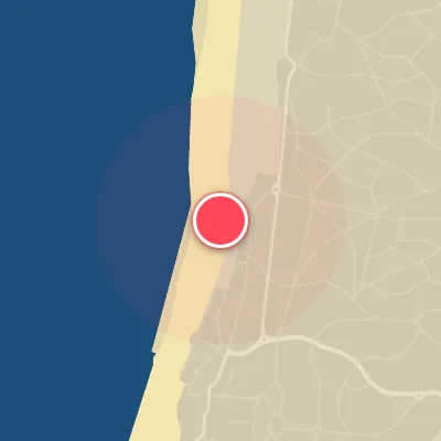
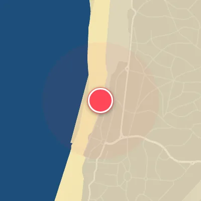
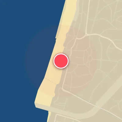
Spot Conditions Map
Hover over the hourly chart columns to update the wind & swell direction overlays on the map.
Today's Surf & Wind Forecast (Hourly)
Loading forecast text...
Spot Overview & Description
Lacanau stands as a premier Atlantic beachbreak and the undisputed surf hub for the Bordeaux region, with a contest pedigree stretching back to its first ASP event in 1979. Its shoreline faces due west, absorbing the full brunt of passing Atlantic swells and transforming them into miles of hollow, rip-friendly lefts and rights. A network of groins and rock jetties anchors the sand, ensuring consistent, well-defined peaks even as the tides shift. From the elevated boardwalk at Plage Centrale, you can scan the entire lineup before deciding where to paddle out—whether it’s the punchy walls of La Nord, the playful wedges of La Sud, the long, open shoulders of Super Sud, or any of the nonstop peaks scattered across the 14-kilometer stretch of sand. Expect fast, rippable waves that stand up and barrel when conditions align.
Best Surf Season & Climatology
Best Surf Season (October - March)
The North Atlantic roars to life during these months, delivering consistent, powerful groundswells that light up the west-facing beaches of Lacanau. High-amplitude storm systems track across the Atlantic, firing long-period swell trains from the WNW and NW, while cold fronts and strong highs set up favourable offshore wind patterns from the east and southeast. Average wave heights hover between 1.8m and 2.4m, with periods often exceeding 11 seconds, making for pumping, hollow waves that peel along the sandbanks. The wind is ideal 40-44% of the time, offering clean conditions for high-performance surfing. This is the prime window for experienced surfers to score firing sessions.
Fair Surf Season (April & September)
Transition months see a shift in storm tracks and atmospheric pressure gradients, leading to a modest drop in swell energy. April and September deliver average heights around 1.5-1.6m and periods in the 10-10.5s range, still enough to produce fun, rippable waves, especially on WNW and NW swells. Onshore winds increase slightly, but the window for clean surf remains open, particularly when blocking highs settle over the continent. These months offer excellent shoulder-season conditions with smaller crowds and more forgiving waves.
Low Surf Season (May - August)
Summer brings a prolonged stretch of small, weak swell dominated by short-period, wind-driven waves from the WNW and NW. Average heights dip below 1.5m, with periods rarely exceeding 9.5 seconds, leading to mushy, grovelly conditions suited mainly for longboards and foils. The Azores High ridges in, suppressing storm activity and driving persistent onshore breezes from the west and northwest, further degrading wave quality. Ideal wind percentages fall to 26-31%, and surfable days are scarce. However, early mornings can still offer small, clean lines if a weak easterly land breeze sets up, and late-season low-pressure outliers can occasionally salvage a session.
Detailed Surf Information for Lacanau
Detailed Surf Forecast
Access our detailed 8-day swell and wind forecast charts for Lacanau with tidal graphs, period ranges, and daily forecast text summaries.
Swell & Wind Statistics
Explore historical swell consistency, wave heights, and offshore wind windows month-by-month, compiled from over 40 years of data.
Historical Surf Report
Browse the historical database archives to view past wave reports and understand spot climatology during specific years and months.