Map
Map
Los Tubos
Today's Surf Conditions at Los Tubos
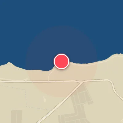
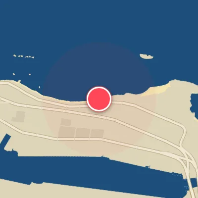
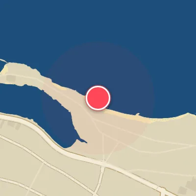
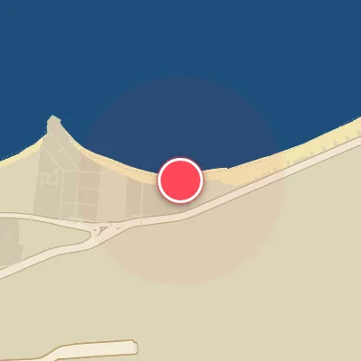
Spot Conditions Map
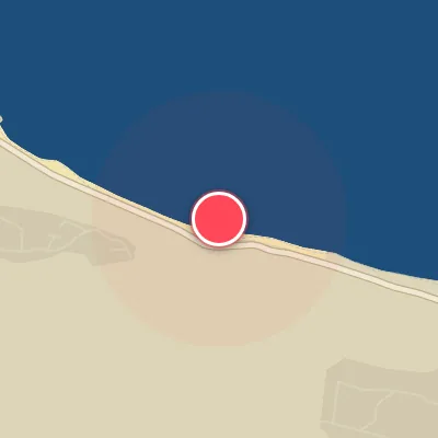
Hover over the hourly chart columns to update the wind & swell direction overlays on the map.
Today's Surf & Wind Forecast (Hourly)
Loading forecast text...
Spot Overview & Description
Los Tubos sits roughly 30 minutes west of San Juan, a beachbreak with a west-facing bias that invites the reliable northeast trade winds to blow clean and offshore. The star of the show is a thick, deepwater peak that evokes a scaled-down Inside Sunset Beach—a wave that demands a blind takeoff, letting you drop in on faith as the lip hurls overhead. It peels both ways, but lefts are the primary draw, breaking over a mix of sand and reef. A convenient paddling channel sits just beside the peak, offering a quick escape back to the lineup. This spot comes alive with swell from the northwest, north, or northeast, handling waves from 4 feet (1.2 meters) to a solid 12 feet (3.6 meters) over a rocky bottom. Consistency can be fickle, but when conditions align, expect head-high to double-overhead sets that cater to intermediate and expert surfers alike. Paddling effort varies with size—be ready to work for your share. The best wind blows from the south-southwest through north-northwest, and lower tides typically sharpen the shape. Access is straightforward with beachfront parking, but popularity spikes when the surf turns on, and the local vibe can feel territorial. Keep your head on a swivel for those blind drops and heaving barrels—they’re the hallmark here. Late summer and fall deliver tropical cyclone swells, while winter offers more consistent groundswell action.
Best Surf Season & Climatology
Best Surf Season (October - March)
The North Pacific begins to flex its muscles as autumn transitions into winter, and Los Tubos sees a noticeable uptick in both swell height and period. Average wave heights hover between 1.4m and 1.8m, with occasional pulses from the N and NNW that align with the beach's NW exposure. These months are powered by strong extratropical storms rolling off the Asian continent, sending long-period groundswells across the Pacific. While the dominant swell direction remains ENE (often a product of local trade winds), the arrival of a genuine NW swell combined with light offshore breezes from the S to WSW quadrant can produce firing, hollow waves. The wind statistics show a solid 70-86% favorable conditions, making this the prime window for quality surf.
Fair Surf Season (April - May & September)
During the shoulder months, the swell dials back slightly. April and May average around 1.3-1.5m, with wave periods often in the 6-second range, leading to a more windswell-dominated regime. The wind remains predominantly from the E to ESE, which provides a clean side-offshore texture but lacks the punch of a true NW groundswell. September marks the beginning of the transition, with a slight increase in NNE and N swell as the fall season kicks in. While not as consistent as the winter peak, these months still offer fun, rippable waves with plenty of sunny days and light winds.
Low Surf Season (June - August)
The summer months bring the smallest and weakest surf of the year. Average heights dip to 1.2-1.3m, and the swell is almost entirely composed of short-period, local windswell from the ENE. The beach faces NW, so this easterly swell has to wrap around to reach the break, resulting in smaller, weaker waves. The wind, however, is exceptionally clean – over 80% of the time it blows from the E to ESE, keeping the surface glassy. Unfortunately, without a long-period NW component, the surf remains marginal. This is the time for groveling on micro boards or seeking a south-facing alternative.
Detailed Surf Information for Los Tubos
Detailed Surf Forecast
Access our detailed 8-day swell and wind forecast charts for Los Tubos with tidal graphs, period ranges, and daily forecast text summaries.
Swell & Wind Statistics
Explore historical swell consistency, wave heights, and offshore wind windows month-by-month, compiled from over 40 years of data.
Historical Surf Report
Browse the historical database archives to view past wave reports and understand spot climatology during specific years and months.