Map
Map
Manuel Antonio
Today's Surf Conditions at Manuel Antonio
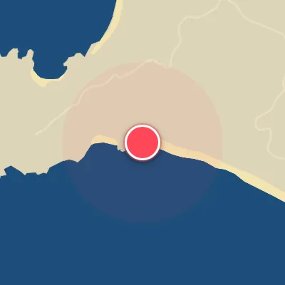
Spot Conditions Map
Hover over the hourly chart columns to update the wind & swell direction overlays on the map.
Today's Surf & Wind Forecast (Hourly)
Loading forecast text...
Best Surf Season & Climatology
Best Surf Season (December - April)
The dry season brings the Northeast trade winds that blow offshore across our SSW-facing beaches, creating clean, glassy conditions. Swell from the deep South Pacific is consistent, with average heights around 1.0 to 1.2m and long periods of 12-14 seconds. January through March are the peak months, with ideal wind frequencies above 25% and most waves in the fun, rippable 0.5-1.5m range. The combination of offshore wind and long-period groundswell makes this the premier time to score Manuel Antonio.
Fair Surf Season (May - August)
As the Intertropical Convergence Zone shifts north, the trade winds weaken and onshore southerly and southwesterly flow becomes more common. Ideal wind drops to 19-22% of the time, but swell actually builds, averaging 1.3-1.4m with periods of 13-14 seconds. The SSW and SW swells are stronger, often reaching pumping 1.5-2m heights. When an early-morning or late-evening offshore window aligns with these bigger swells, the waves can be spectacular. It is a gamble, but the payoff is worth it.
Low Surf Season (September - November)
The transition back to dry season is slow, with onshore winds still prevalent, especially in October and November when ideal wind falls to 15-19%. Swell heights decrease slightly to 1.2-1.4m but remain rideable. November is the most challenging month due to persistent southerly winds. However, September shows a hint of improvement with ideal wind at 24%, and occasional strong offshore flows from the north can still deliver clean, long-period waves. Patience and a close eye on the forecast are key.
Detailed Surf Information for Manuel Antonio
Detailed Surf Forecast
Access our detailed 8-day swell and wind forecast charts for Manuel Antonio with tidal graphs, period ranges, and daily forecast text summaries.
Swell & Wind Statistics
Explore historical swell consistency, wave heights, and offshore wind windows month-by-month, compiled from over 40 years of data.
Historical Surf Report
Browse the historical database archives to view past wave reports and understand spot climatology during specific years and months.