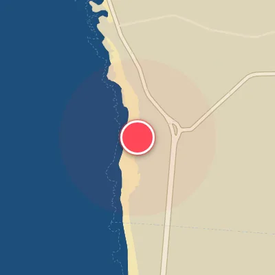

Today's Surf Conditions at Matosinhos
Spot Overview & Description
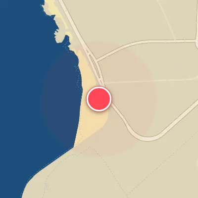
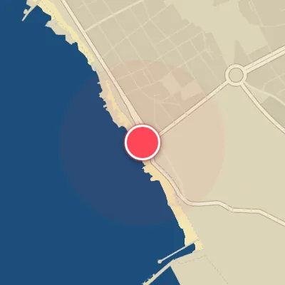
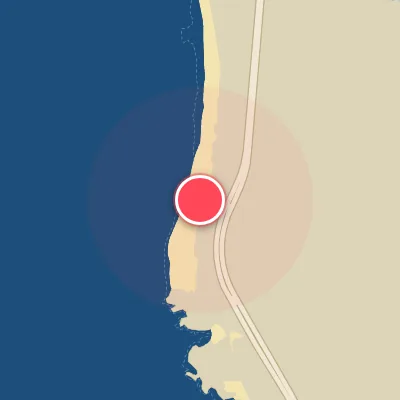
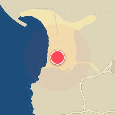
Matosinhos stretches as a long, versatile urban playground just north of Porto, with its northern boundary sheltered by a massive breakwater that sets the stage for multiple wave setups. Near the breakwater, a right-hand point break peels off with consistency, while the middle section offers a forgiving right-and-left peak that caters to all comers. Toward the southern end, a right-hand sandbank and a left point break come into play, with wave heights generally building as you move south away from the shelter. The seafloor is predominantly sand, though occasional rocks lurk near the southern end—so keep an eye out during lower tides. A word of caution: Matosinhos carries a reputation for heavy pollution due to its close proximity to the harbour and rivermouth, making post-session hygiene a priority. Despite this, its easy access and variety of peaks keep it a staple for local surfers.
Best Surf Season & Climatology
Best Surf Season (October - March)
The North Atlantic roars to life during the autumn and winter, and Matosinhos feels every pulse. When the NAO drops negative, the mid-latitude storm track dives south toward Iberia and sends a conveyor belt of extratropical lows rolling through the North Atlantic. Average surf heights run in the 4-6ft (1.2-1.8m) range with periods in the 11-13s spectrum. The southwest-facing banks pick up the W and WSW swells with full force, while the bulk WNW/NW groundswell wraps around the headland to keep the sandbars honest. Onshore S/SW winds can chop things up ahead of fronts, but the post-frontal high pressure often plants an offshore E/NE flow over the coast. October through March is the peak window.
Detailed Surf Information for Matosinhos
Detailed Surf Forecast
Access our detailed 8-day swell and wind forecast charts for Matosinhos with tidal graphs, period ranges, and daily forecast text summaries.
Swell & Wind Statistics
Explore historical swell consistency, wave heights, and offshore wind windows month-by-month, compiled from over 40 years of data.
Historical Surf Report
Browse the historical database archives to view past wave reports and understand spot climatology during specific years and months.