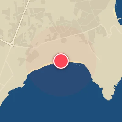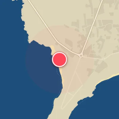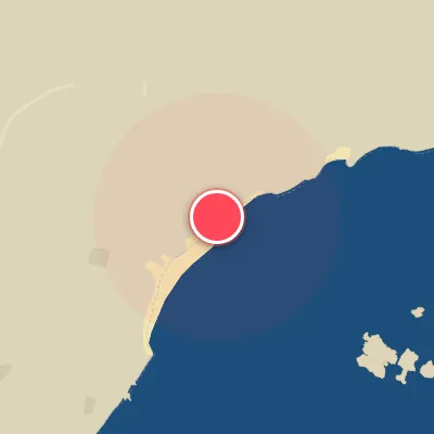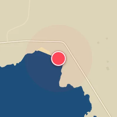
Today's Surf Conditions at Sagres
Best Surf Season & Climatology
Best Surf Season (October - March)
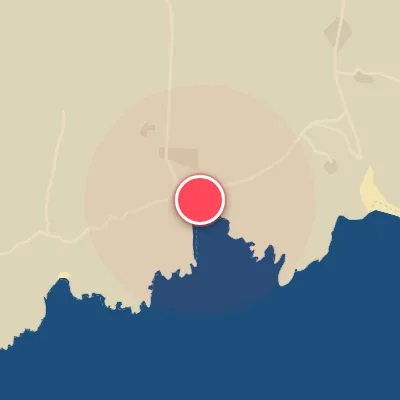
From October through March, the North Atlantic shifts into full storm-generator mode. Deep extratropical cyclones marching east toward the Bay of Biscay and the Iberian Peninsula fire long-period groundswell at the Portuguese coast, and Sagres sees its biggest average swell of the year-often 6-8ft (1.8-2.4m) with average periods in the 11-13s range. Although the dominant swell direction at this exposed corner is NW/NNW rather than the ideal S/SE window, the refraction around Cape St. Vincent plus a healthy dose of SW/SSW energy can line up well on the SSE-facing beaches. A negative NAO phase tends to push the storm track farther south, increasing the odds of more direct S/SW swell and lower pressure over Iberia. The catch is winter wind: S/SW systems often bring onshore conditions. Still, when a strong high-pressure ridge sets up over the Bay of Biscay, the northerly offshore flow cleans up the same swell, and Sagres turns into a punchy, hollow right-hand wave factory.
Detailed Surf Information for Sagres
Detailed Surf Forecast
Access our detailed 8-day swell and wind forecast charts for Sagres with tidal graphs, period ranges, and daily forecast text summaries.
Swell & Wind Statistics
Explore historical swell consistency, wave heights, and offshore wind windows month-by-month, compiled from over 40 years of data.
Historical Surf Report
Browse the historical database archives to view past wave reports and understand spot climatology during specific years and months.