Map
Map
Praia da Barra
Today's Surf Conditions at Praia da Barra
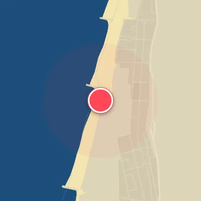
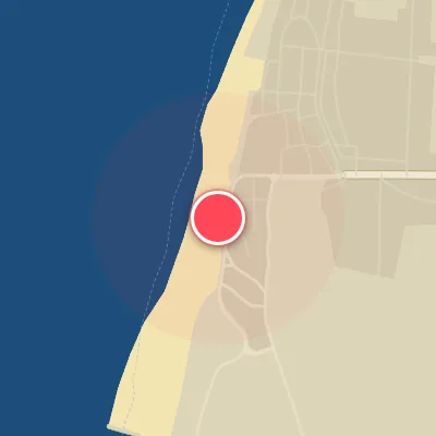
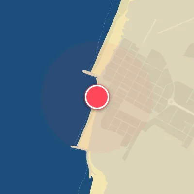
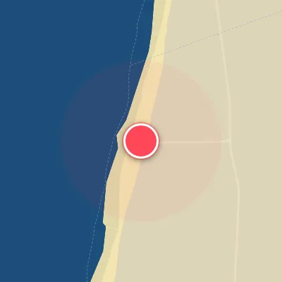
Spot Conditions Map
Hover over the hourly chart columns to update the wind & swell direction overlays on the map.
Today's Surf & Wind Forecast (Hourly)
Loading forecast text...
Spot Overview & Description
Praia da Barra stands as a celebrated and high-quality surf destination along the Beira Littoral, anchored by a long, imposing breakwater that fundamentally shapes the lineup. The waves break over a sandy bottom and peel both left and right, offering a versatile canvas for surfers. The breakwater works its magic by corralling the swell and grooming consistent, well-defined sandbars, transforming ocean energy into clean, rideable walls.
Best Surf Season & Climatology
Best Surf Season (October - March)
The North Atlantic roars to life from October through March, delivering a relentless barrage of powerful, long-period swell generated by deep extratropical cyclones. Average wave heights hover between 2.0m and 2.5m, with periods often exceeding 12 seconds, translating to heavy, well-defined lines wrapping into Praia da Barra's west-facing beach. The dominant swell directions from WNW and NW (over 40% combined in most of these months) align perfectly with the beach's exposure, and when high pressure sets in over mainland Europe, crisp offshore winds from the east (E, ENE, ESE) create glassy, rippable conditions. This is the prime window for experienced surfers to chase pumping, firing waves, though be prepared for occasional stormy onshores and XL swells pushing above 2.5m.
Fair Surf Season (April - May, September)
As the seasons transition, the swell energy eases but still offers quality. April and May see average heights drop to 1.7-2.0m and periods shorten to 9.9-11.0s, while September revs back up with 1.6m and 10.4s on average. Swell direction remains favorable with WNW and NW still dominating, though the frequency of clean offshore winds drops – ideal wind percent dips to 31-38%. These months are more fickle, often requiring a careful read of the charts to find windows of fun, rippable waves between less consistent days. Good for intermediate surfers when conditions align.
Low Surf Season (June - August)
Summer settles into a low-energy pattern with average heights barely reaching 1.4-1.5m and periods languishing around 8.6-9.2s. Swell still arrives predominantly from NW and NNW, but the reduced power means mostly small, mushy waves suitable for longboards and foils. On top of that, the percentage of ideal surf wind plummets to 20-24% as the prevailing northerly and northwesterly winds (often onshore or cross-shore) degrade wave faces. While there are occasional fun-sized days, this is the low season – expect groveling conditions and make the most of early morning light breezes.
Detailed Surf Information for Praia da Barra
Detailed Surf Forecast
Access our detailed 8-day swell and wind forecast charts for Praia da Barra with tidal graphs, period ranges, and daily forecast text summaries.
Swell & Wind Statistics
Explore historical swell consistency, wave heights, and offshore wind windows month-by-month, compiled from over 40 years of data.
Historical Surf Report
Browse the historical database archives to view past wave reports and understand spot climatology during specific years and months.