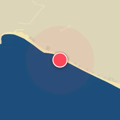
Map
Map
Puerto Sandino
Today's Surf Conditions at Puerto Sandino
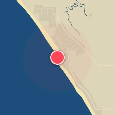
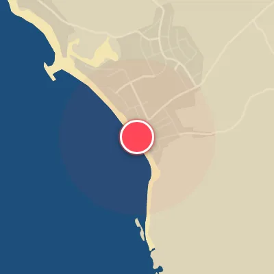
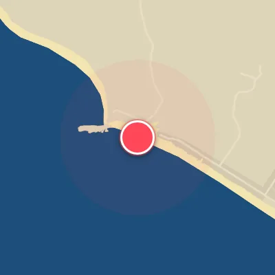
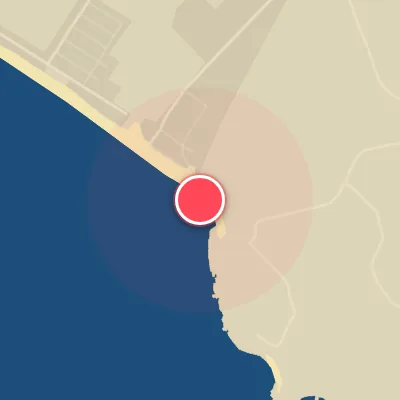
Spot Conditions Map
Hover over the hourly chart columns to update the wind & swell direction overlays on the map.
Today's Surf & Wind Forecast (Hourly)
Loading forecast text...
Spot Overview & Description
Pulled right out of Nicaragua’s wave-rich lineup, Puerto Sandino lays claim to one of the longest rides in the country—and arguably all of Central America. This left-hander unfurls over a half-mile stretch near a sprawling rivermouth, capable of delivering 400-meter runners when conditions align. But don’t mistake its appeal for easy access; this is an exposed, demanding wave that can turn fickle when the wind pipes up. Most surfers reach it by boat, as the paddle from shore is a serious grind, especially against shifting currents. The wave itself peels left over a sand-and-reef bottom, handling swell from 2 meters (6 feet) up to a hefty 4.5 meters (15 feet). It’s best suited for intermediate and above, though smaller, cleaner days can welcome a broader crowd. Incoming tide typically grooms the best shape, while light northeast winds keep the surface glassy. Swell direction is key: SSW is the golden ticket, though S and W swells can also light it up. Expect a mix of fast take-offs, stand-up barrel sections, and long, open walls that keep you working down the line. Paddling here demands endurance—the rides are marathon-length, and currents can be unpredictable. Quiver choices range from shortboards to fishes, but stamina is the real prerequisite. Peak season runs from April through September, with spring and fall offering solid pulses. Crowds are generally mellow but keep a sharp eye out for other surfers and boat traffic, especially during prime windows.
Best Surf Season & Climatology
Best Surf Season (May - November)
During these months, Puerto Sandino is consistently fed by long-period groundswell generated by powerful Southern Hemisphere storms. The dominant swell direction is from the S to SSW quadrant, perfectly aligned with the beach's SSW exposure. Average wave heights hover around 1.3m with periods in the 13-14 second range, delivering punchy, rippable waves. Offshore winds from the ENE are prevalent but generally lighter than in the dry season, thanks to a northward shift of the Intertropical Convergence Zone. This combination yields a high percentage of ridable, glassy conditions, making it the prime window for surf travel.
Fair Surf Season (April & December)
April and December serve as transitional months. April sees a slight uptick in swell height (1.2m) with excellent long periods (14.2s) and a very high percentage of optimal swell direction (over 90% from S/SSW). However, winds are a bit more variable, with some onshore flow creeping in. December brings the highest percentage of ideal wind conditions (71%) due to strong offshore trades, but average swell height drops to 1.0m and periods shorten to 12.5s, resulting in smaller but clean waves. Both months offer good sessions when the timing is right.
Low Surf Season (January - March)
The first quarter of the year is characterized by the peak of the Papagayo wind season. While the ENE trades blow strong and consistently offshore, their velocity often exceeds the sweet spot, creating bumpy surface conditions and reducing the 'ideal' wind percentage significantly (down to 42-53%). Swell heights average 1.0-1.1m with periods around 12-13 seconds, but the swell direction is more mixed, with a notable percentage from the E/ESE that does not wrap in as well. The result is a less consistent surf window, though occasional clean days can still deliver fun waves when the wind lightens.
Detailed Surf Information for Puerto Sandino
Detailed Surf Forecast
Access our detailed 8-day swell and wind forecast charts for Puerto Sandino with tidal graphs, period ranges, and daily forecast text summaries.
Swell & Wind Statistics
Explore historical swell consistency, wave heights, and offshore wind windows month-by-month, compiled from over 40 years of data.
Historical Surf Report
Browse the historical database archives to view past wave reports and understand spot climatology during specific years and months.