Map
Map
Red Tree Reef
Today's Surf Conditions at Red Tree Reef
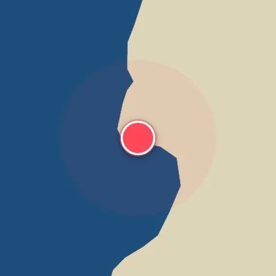
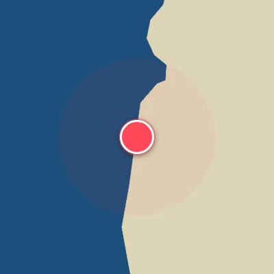
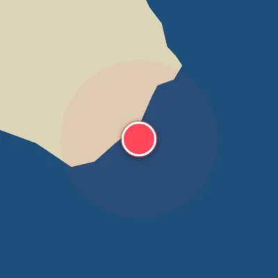
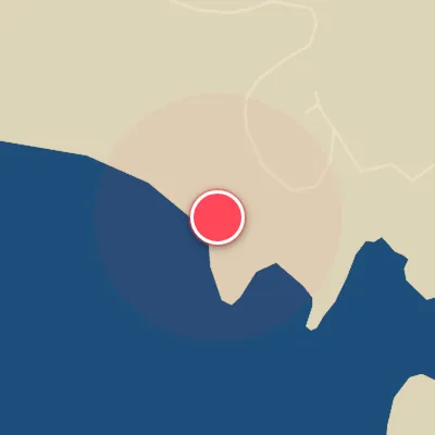
Spot Conditions Map
Hover over the hourly chart columns to update the wind & swell direction overlays on the map.
Today's Surf & Wind Forecast (Hourly)
Loading forecast text...
Spot Overview & Description
Red Tree Reef sits as a solitary, west-facing reef peak just west of Sitka, where the open Pacific swells march straight in from the gulf. The wave breaks over a rugged, uneven reef bottom, creating a dynamic and sometimes treacherous playing field that rewards careful lineups and quick reflexes. Both lefts and rights are on the menu, peeling off the peak with a heavy, hollow tendency when conditions align. This is a spot that demands respect—best suited for experienced surfers who can read shifting peaks and handle shallow, exposed reef at lower tides.
Best Surf Season & Climatology
Best Surf Season (October - March)
The North Pacific roars to life during the autumn and winter months, delivering a sustained barrage of powerful, long-period groundswells to Red Tree Reef. Average swell heights climb above 2.5m, peaking at 3.0m in December, with periods consistently in the 11-12s range – that's the sweet spot for this west-facing reef. The dominant swell directions shift predominantly through the SW, WSW, and W quadrants, which align perfectly with the reef's optimal exposure. Offshore wind conditions are most reliable during this period, with ideal wind percentages hovering between 24% and 29%, often courtesy of high-pressure systems settling over the interior that pump clean ENE to SE breezes. When these ingredients combine, the reef fires, offering peaky, powerful waves that demand respect.
Fair Surf Season (April - May & September)
As the North Pacific storm track starts to weaken in spring, average swell heights drop to 2.2m in April and 1.7m in May, while periods shorten to around 10-11s. The swell energy is still present, but it becomes less consistent and more reliant on Southern Hemisphere pulses or late-season low-pressure systems. April sees the highest offshore wind frequency of the year at 30%, making it a prime month for clean, albeit smaller, conditions. September marks the transition back into winter, with average heights climbing back to 2.0m and periods picking up to 9.9s. While the swell is still building, the wind plays a trickier game – ideal conditions occur only 24% of the time, often requiring a careful eye on local pressure gradients.
Low Surf Season (June - August)
Summer slumps hard at Red Tree Reef. The North Pacific storm machine shuts down, leaving the reef relying on weak, distant Southern Hemisphere swells that arrive with less punch. Average swell heights bottom out at 1.3-1.4m, and periods dip to 9.8-10.2s – rideable but rarely exciting. The swell direction becomes heavily biased toward the SW and SSW, which, while still workable, doesn't bring the same juice as a solid W or WNW swell. To make matters worse, the wind is far from cooperative. Ideal offshore conditions fall to 21-23% of the time, with strong, persistent NW winds dominating a quarter of the days. The result is a summer of small, often choppy surf that is best suited for a longboard or a groveler when the occasional west wind swell aligns.
Detailed Surf Information for Red Tree Reef
Detailed Surf Forecast
Access our detailed 8-day swell and wind forecast charts for Red Tree Reef with tidal graphs, period ranges, and daily forecast text summaries.
Swell & Wind Statistics
Explore historical swell consistency, wave heights, and offshore wind windows month-by-month, compiled from over 40 years of data.
Historical Surf Report
Browse the historical database archives to view past wave reports and understand spot climatology during specific years and months.