- Home
- ...Europe
 United Kingdom
- Pease Bay
Today's Surf Conditions at Pease Bay
Spot Overview & Description
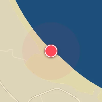
Tucked away at the southern terminus of Scotland’s east coast, Pease Bay offers a welcoming blend of accessibility and quality surf for those willing to make the short drive from Edinburgh. This popular beachbreak consistently dishes up well-defined peaks that wedge up powerfully along the expansive stretch of sand. The wave setup is split by nature: a rocky right-hander peels off the southern point, while a playful left-hander wraps around the northern end, providing variety for different skill levels. The seafloor is predominantly sand, interspersed with patches of rock reef that add character and occasional extra push.
Best Surf Season & Climatology
Best Surf Season (October - March)
When the North Atlantic storm track gets going, Pease Bay starts to realize its potential. Average surf heights climb to 1.3-1.6m (4-5ft) and periods sit around 6s, with the most consistent north-easterly fetch. The winter months offer the highest chance of clean, rideable surf, especially when low pressure over the North Sea and high pressure to the northwest align to send N, NNE and NE pulses into the bay. Offshore S, SSW and SW winds occur in 11-15% of observations, and although it can be raw and cold, the bay's best sessions are usually between October and March.
Detailed Surf Information for Pease Bay
Detailed Surf Forecast
Access our detailed 8-day swell and wind forecast charts for Pease Bay with tidal graphs, period ranges, and daily forecast text summaries.
Swell & Wind Statistics
Explore historical swell consistency, wave heights, and offshore wind windows month-by-month, compiled from over 40 years of data.
Historical Surf Report
Browse the historical database archives to view past wave reports and understand spot climatology during specific years and months.