- Home
- ...North America
 United States
- Casino Pier
Today's Surf Conditions at Casino Pier
Spot Overview & Description
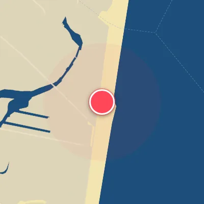
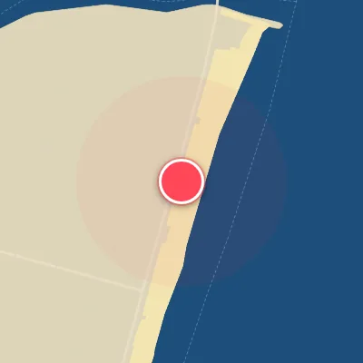
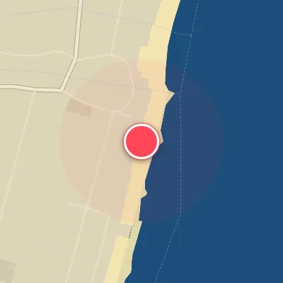
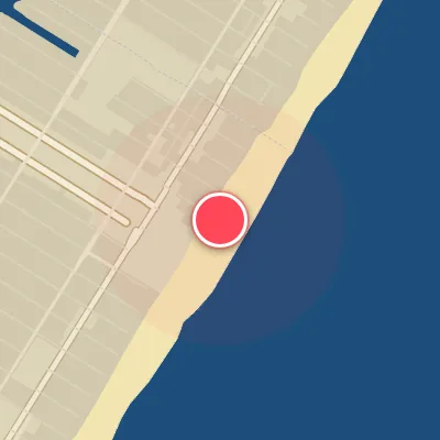
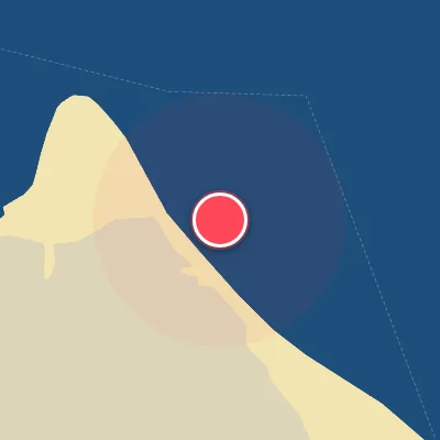
Seaside Heights’ Casino Pier has been reborn with a much shorter footprint, but the sand-bottom beachbreak it anchors still punches well above its weight. When the sandbars align, this stretch of coastline serves up a rotating menu of lefts and rights that can rival any local spot. The south side of the pier occasionally shapes a bowly right that pitches off the sand, while the north side offers a softer, mirror-image left, particularly when southerly swell washes in. Just a block north, Hiering Avenue adds another layer of consistency, delivering fun lefts and rights that keep the stoke alive when the pier gets crowded. It’s a classic Jersey beachbreak—dynamic, tide-sensitive, and best approached with a keen eye for shifting sand and a willingness to work for your waves.
Best Surf Season & Climatology
Best Surf Season (September - March)
Casino Pier faces due east into the open Atlantic, so the best surf is a two-part equation: easterly quadrant swell and westerly offshore wind. From September through March, the North Atlantic storm track is active enough to keep average surf heights around 3-4ft (0.9-1.2m), with the coldest winter months regularly averaging 4-5ft (1.2-1.5m). Early in this window, tropical energy and transitioning hurricanes can fire long-period E/ESE/SE swell, while late autumn and winter Nor'easters add size and power. The frequent passage of cold fronts also swings winds into the W/WNW/NW quadrant, grooming those east-facing peaks into clean, hollow lines. This is the heart of the season at Casino Pier.
Detailed Surf Information for Casino Pier
Detailed Surf Forecast
Access our detailed 8-day swell and wind forecast charts for Casino Pier with tidal graphs, period ranges, and daily forecast text summaries.
Swell & Wind Statistics
Explore historical swell consistency, wave heights, and offshore wind windows month-by-month, compiled from over 40 years of data.
Historical Surf Report
Browse the historical database archives to view past wave reports and understand spot climatology during specific years and months.