- Home
- ...North America
 United States
- Manasquan Inlet
Today's Surf Conditions at Manasquan Inlet
Spot Overview & Description
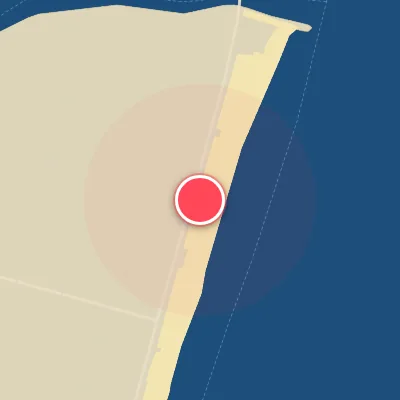
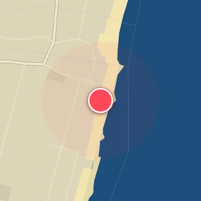
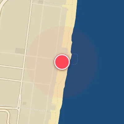
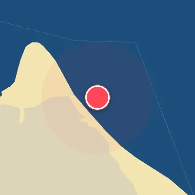
Manasquan Inlet stands as an iconic fixture on the East Coast, a jetty-framed wave factory that channels ocean energy into a wedge of steep, fast-moving rights. The takeoff zone hugs the rock line, where a shifting sand bottom shapes each pulse into a hollow, critical wall—a ride that demands commitment and rewards precision. While the primary offering is a punchy right that peels with authority, the inlet occasionally dishes out a quality left when the alignment favors it, adding a subtle twist to the session.
Best Surf Season & Climatology
Best Surf Season (October - March)
The New Jersey coast, and Manasquan Inlet in particular, is fundamentally a late-fall-through-winter setup. As the North Atlantic storm track intensifies, strong extratropical cyclones and nor'easters generate a steady supply of east and southeast swell. The average surf clocks in around 4ft (1.2-1.3m) with periods in the 7-8s range, and while that mix is often short-period windswell, the arrival of a low-pressure system off the Mid-Atlantic coast can bring 10-14s groundswell. What makes this stretch special is the wind: cold fronts sweeping off the continent leave behind west, west-southwest and northwest winds, blowing offshore at this east-facing beach. That combination gives Manasquan a much cleaner, more organized wave than the raw storm surf suggests. The NAO's negative phase often correlates with strong northeast-blocking patterns and a more active storm track along the Eastern Seaboard, which is exactly what the inlet wants.
Detailed Surf Information for Manasquan Inlet
Detailed Surf Forecast
Access our detailed 8-day swell and wind forecast charts for Manasquan Inlet with tidal graphs, period ranges, and daily forecast text summaries.
Swell & Wind Statistics
Explore historical swell consistency, wave heights, and offshore wind windows month-by-month, compiled from over 40 years of data.
Historical Surf Report
Browse the historical database archives to view past wave reports and understand spot climatology during specific years and months.