Map
Map
Ventnor Pier
Today's Surf Conditions at Ventnor Pier
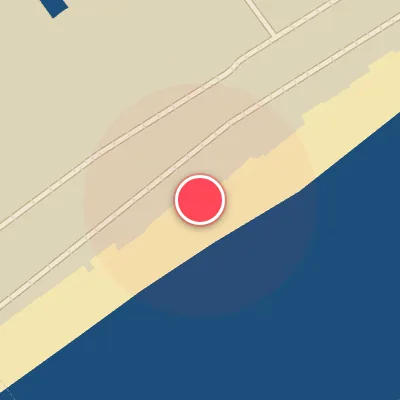
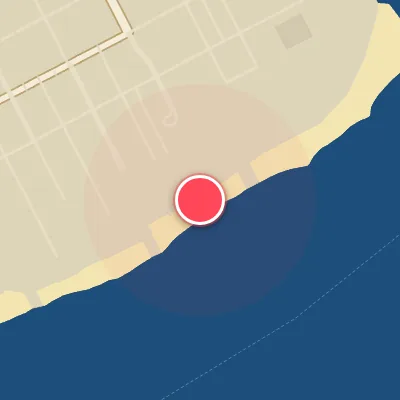
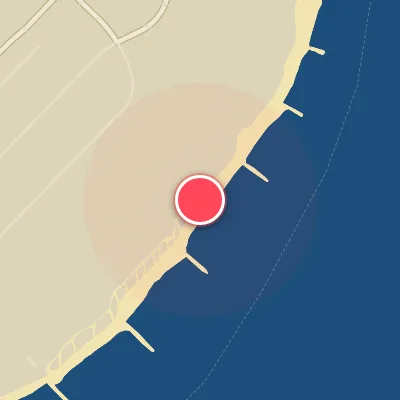
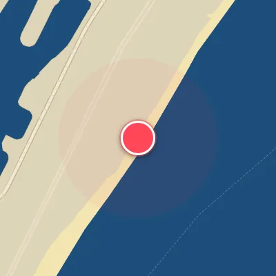
Spot Conditions Map
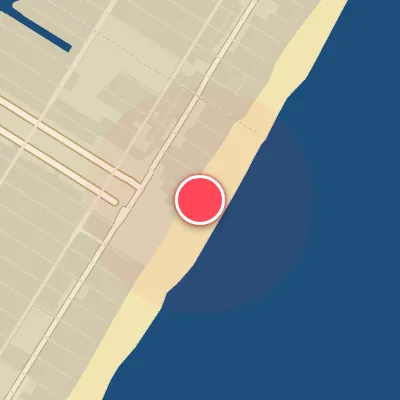
Hover over the hourly chart columns to update the wind & swell direction overlays on the map.
Today's Surf & Wind Forecast (Hourly)
Loading forecast text...
Spot Overview & Description
Ventnor Pier offers a classic sand-bottom setup with long, peeling waves peeling off both sides of the structure, delivering clean rights and lefts for versatile riding. When conditions align, the lines stretch out with generous shoulder-hugging sections, making for inviting carve-and-race walls. Paddling out is generally low-key, with manageable currents that keep the session more about positioning than battling. Suitable for intermediate to advanced surfers looking to capitalize on a reliable, user-friendly break when the swell hits the right angles.
Best Surf Season & Climatology
Best Surf Season (October - March)
The North Atlantic swings into high gear from October through March, with the jet stream driving a relentless parade of extratropical cyclones across the basin. For Ventnor Pier, this translates into the most consistent and powerful swell of the year. Average wave heights hover between 1.3m and 1.4m, and periods often push into the 7–8 second range, delivering punchy, rideable waves. The primary swell directions—ESE, SE, SSE, and S—align perfectly with the beach's SSE exposure, while persistent offshore winds from the NW, WNW, and NNW quadrant (ideal 28% of the time) groom the faces to perfection. Nor'easters are the star players here, pumping in long-period groundswell that can easily reach the 1.5–2.5m 'pumping' range when conditions align. This is the window for the best surf of the year.
Fair Surf Season (April - May & September)
As the winter pattern weakens, April and May see a noticeable drop in average swell height to 1.1–1.2m and a slight dip in period. The dominant swell sources shift toward more easterly and southeasterly directions, but the wind patterns become less reliable: ideal offshore flow occurs only 22–24% of the time, with onshore SW and SSW breezes often ruffling the surface. Still, when a late-season cold front sweeps through, it can deliver a clean, fun-sized ('solid') swell in the 1–1.5m range. September marks the transition back toward winter, with the first strong hurricanes or early extratropical lows sending pulses of long-period (8.4s average) swell from the ESE and SE. The wind improves again, offering 28% ideal conditions, making it a worthy shoulder-season month.
Low Surf Season (June - August)
Summer brings the doldrums to Ventnor Pier. Average swell heights bottom out at just 0.9m, with an average period of 7.0–7.5s—mostly 'small, fun-sized' and often messy. The dominant swell directions become SSE and S, which are actually favorable for exposure, but the wind curse is the real killer. Onshore winds from the SSW and SW dominate, often blowing 10–20+ kph, creating choppy, bumpy conditions. Ideal offshore flow still occurs about 26–28% of the time, but it tends to be light and from the north, rarely strong enough to clean up the weak, short-period swell. The only saving grace is the rare tropical system that tracks close enough to pump in a pulse of longer-period energy, but those events are the exception, not the rule. Expect mainly groveling conditions through the heart of summer.
Detailed Surf Information for Ventnor Pier
Detailed Surf Forecast
Access our detailed 8-day swell and wind forecast charts for Ventnor Pier with tidal graphs, period ranges, and daily forecast text summaries.
Swell & Wind Statistics
Explore historical swell consistency, wave heights, and offshore wind windows month-by-month, compiled from over 40 years of data.
Historical Surf Report
Browse the historical database archives to view past wave reports and understand spot climatology during specific years and months.