Map
Map
Stone Harbor
Today's Surf Conditions at Stone Harbor
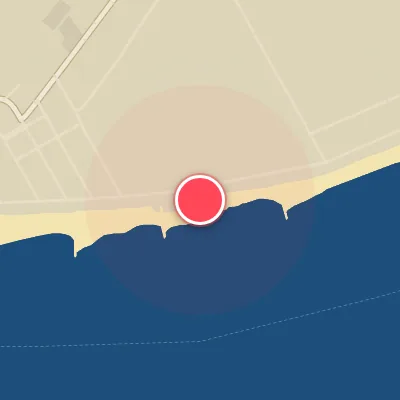
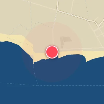
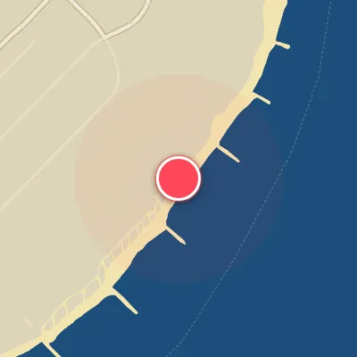
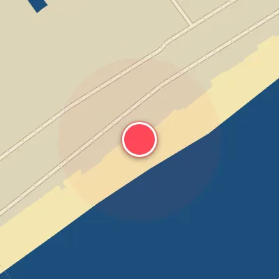
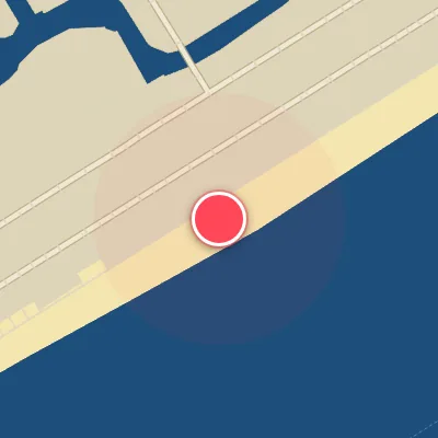
Spot Conditions Map
Hover over the hourly chart columns to update the wind & swell direction overlays on the map.
Today's Surf & Wind Forecast (Hourly)
Loading forecast text...
Spot Overview & Description
Stone Harbor stretches along Seven Mile Beach, a classic New Jersey barrier island chain running from Townsends Inlet to Hereford Inlet. The surf here is defined by fine, shifting sand and a higher density of jetties than most neighboring towns—but it rarely delivers a standout wave. The real draw is Nuns Beach, a mellow, forgiving longboard wave that peels gently in front of the convent. Don't expect much off the jetty itself; the best of this spot is soft, crumbly, and perfect for trimming down the line on a log.
Best Surf Season & Climatology
Best Surf Season (October - March)
The North Atlantic roars to life during the autumn and winter months, delivering the most consistent and powerful swell to Stone Harbor’s east-southeast-facing shoreline. As extratropical storms intensify along the US East Coast and the Gulf Stream, long-period groundswell from the O/OSO/SO/SSO quadrants becomes more frequent, with average wave heights climbing to the 0.7m range and periods occasionally stretching into the 10-14s sweet spot. The climatological increase in cold fronts sweeping across the Mid-Atlantic brings a higher frequency of offshore NW-NNW-WNW winds, cleaning up the lines and offering glassy conditions on the better days. While onshore E-SE winds still plague many swells, the winter months provide the highest chance of scoring punchy, rippable waves with offshore textures – this is the window to watch for pumping sessions.
Fair Surf Season (April - May & September)
Transitional months like April, May, and September offer a mixed bag at Stone Harbor. Spring sees the jet stream retreating and storm activity decreasing, resulting in smaller average swell heights (0.5-0.6m) and shorter periods (6-7s). However, occasional late-season nor’easters can still fire up fun-sized waves from the ESE-SE sector, and the increased frequency of west-to-northwest wind events provides clean, offshore conditions on the right days. September marks the return of hurricane season, bringing the potential for long-period, powerful E-SE swell, but often accompanied by onshore wind patterns. These months are best for the opportunistic surfer who can pounce on windows of light offshore flow and modest groundswell.
Low Surf Season (June - August)
The summer months at Stone Harbor are notoriously flat and wind-challenged. With average swell heights plummeting to a mere 0.4m and periods lingering in the 6-7s range, the wave quality suffers dramatically. The dominant swell comes from the SSE-SE quadrant (over 50% of the total), aligning directly with the onshore wind regime – southwest through southeast breezes dominate the summer wind rose, creating nothing but choppy, weak, and virtually unsurfable conditions. Ideal offshore wind (W-NW) blows less than 3% of the time. Unless a distant hurricane sends a rare pulse of long-period energy across the Atlantic, you’re better off saving your energy for the fall and winter. It’s a classic summer doldrums pattern for this exposed Jersey shore spot.
Detailed Surf Information for Stone Harbor
Detailed Surf Forecast
Access our detailed 8-day swell and wind forecast charts for Stone Harbor with tidal graphs, period ranges, and daily forecast text summaries.
Swell & Wind Statistics
Explore historical swell consistency, wave heights, and offshore wind windows month-by-month, compiled from over 40 years of data.
Historical Surf Report
Browse the historical database archives to view past wave reports and understand spot climatology during specific years and months.