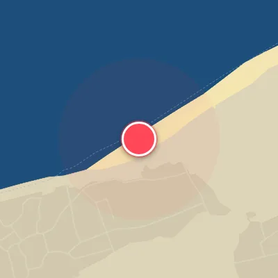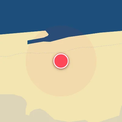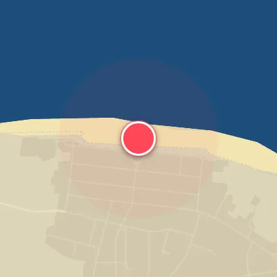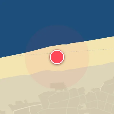

Today's Surf Conditions at Langeoog
Best Surf Season & Climatology
Best Surf Season (October - March)
The North Atlantic storm track is the engine room for Langeoog. From October through March, extratropical lows spinning out of the Labrador Sea and Greenland often intensify as they cross the Atlantic and push toward the North Sea. This turns the German Bight into a consistent, wind-driven swell machine, with average wave heights climbing from 5ft (1.5m) in October to 5-6ft (1.7m) in December and January. Swell direction is dominated by the W, WNW and NW quadrants, which line up perfectly with the island's northwest-facing beaches. The catch is that the same low-pressure systems that produce the swell also fire strong SW to WSW winds, making the surf bumpy and cross-onshore. Only about 12-15% of the time a ridge of high pressure or a Scandinavian high sets up and delivers the ideal offshore ESE/SE/SSE/S flow. On those days, clean, punchy 4-8ft (1.2-2.4m) beach break waves appear on the sandbars, often with crisp air and glassy faces. This is the window to chase.
Detailed Surf Information for Langeoog
Detailed Surf Forecast
Access our detailed 8-day swell and wind forecast charts for Langeoog with tidal graphs, period ranges, and daily forecast text summaries.
Swell & Wind Statistics
Explore historical swell consistency, wave heights, and offshore wind windows month-by-month, compiled from over 40 years of data.
Historical Surf Report
Browse the historical database archives to view past wave reports and understand spot climatology during specific years and months.