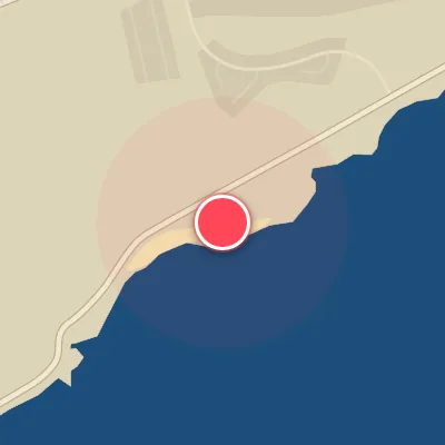
Map
Map
Hookipa Beach Park
Today's Surf Conditions at Hookipa Beach Park
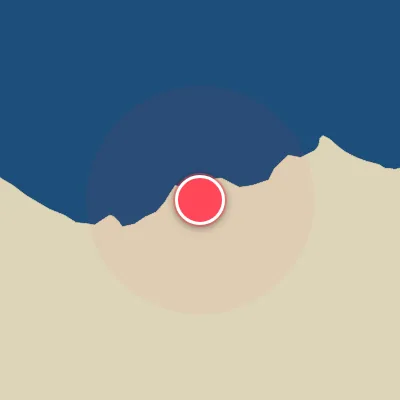
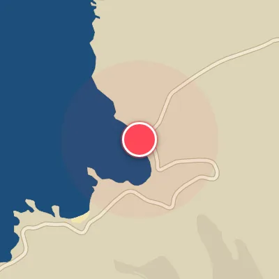
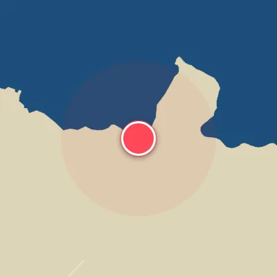
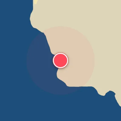
Spot Conditions Map
Hover over the hourly chart columns to update the wind & swell direction overlays on the map.
Today's Surf & Wind Forecast (Hourly)
Loading forecast text...
Spot Overview & Description
Hookipa sits along Maui's north-central coast as a remarkably consistent reefbreak zone that delivers world-class surf and some of the most renowned wavesailing on the planet. The wave forms over an uneven reef, offering both lefts and rights across a series of distinct peaks—Pavilions, Middles, Point, and Lane—each with its own character. As the trade winds fill in after late morning, the lineup transforms into Hawaii’s epicenter for kite- and windsurfing, drawing the world’s best to its relentless, high-performance playground.
Best Surf Season & Climatology
Best Surf Season (October - March)
The North Pacific roars to life during these months, with powerful extratropical storms spinning aloft generating consistent, long-period swell trains that march into the Hawaiian islands. Hookipa's NNW exposure acts like a magnet for NW to NNW groundswell, and the data confirms this: average wave heights climb to 1.8-2.0m with periods averaging 11-12 seconds, often surging into the 15-19s range for world-class conditions. The trade winds are less dominant, and southerly quadrants (S, SSW, SW, WSW) blow offshore a respectable 21-32% of the time, grooming the waves into clean, rippable walls. When a solid NW swell aligns with a light offshore breeze, Hookipa delivers some of the best wave riding on the planet.
Fair Surf Season (April & September)
Transition months offer a mixed bag. April still sees decent winter swell leftovers with averages around 1.7m and periods over 10s, but the trades begin to strengthen, cutting ideal wind frequency to just 16%. September marks the return of northwest pulse as the Pacific storm track awakens; swell heights average 1.3m but periods climb to 9.8s, and ideal wind windows open up to 27% of the time. You'll need to pick your days carefully, but clean conditions are possible when a passing front clears the trades.
Low Surf Season (May - August)
Summer settles in and Hookipa goes into a lull. Persistent easterly trade winds dominate, blowing onshore at this north-facing break over 70% of the time. Swell becomes small, typically from ENE or E with average heights around 1.3m and short periods of 8-9s – a far cry from the powerful winter groundswell. While the occasional north pulse from a distant storm is possible, those are few and far between. Any south swell is completely blocked by the island's landmass. If you're chasing clean, rideable waves, summer is best spent elsewhere or dawn patrol when the trades are lightest.
Detailed Surf Information for Hookipa Beach Park
Detailed Surf Forecast
Access our detailed 8-day swell and wind forecast charts for Hookipa Beach Park with tidal graphs, period ranges, and daily forecast text summaries.
Swell & Wind Statistics
Explore historical swell consistency, wave heights, and offshore wind windows month-by-month, compiled from over 40 years of data.
Historical Surf Report
Browse the historical database archives to view past wave reports and understand spot climatology during specific years and months.