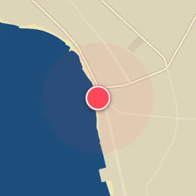
Map
Map
Honolua Bay
Today's Surf Conditions at Honolua Bay
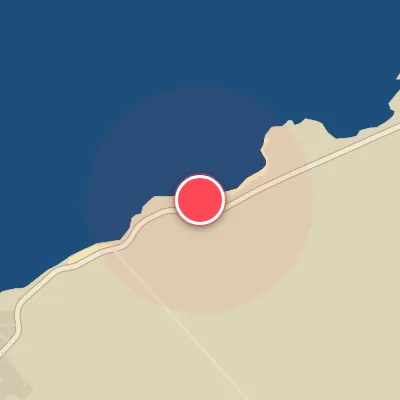
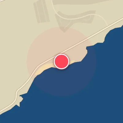
Spot Conditions Map
Hover over the hourly chart columns to update the wind & swell direction overlays on the map.
Today's Surf & Wind Forecast (Hourly)
Loading forecast text...
Spot Overview & Description
Honolua Bay: a legendary right-hand point break that peels over an uneven reef, earning its reputation as one of Maui’s most iconic waves. When conditions align, the ride can stretch for hundreds of yards, threading through distinct sections—Coconuts, Outside, Cave, and Keiki Bowl—before dying out in the channel. Expect hollow, pitching lips against a dramatic backdrop of towering sea cliffs and dense tropical foliage. Coconuts serves as the primary takeoff zone, typically holding the most size and feeling the brunt of the trade winds. Further down the line, Outside can transform into a fast, hollow wall, while Cave delivers the wave’s most critical, draining barrel—and often the most crowded lineup. Keiki Bowl, the final stage, is smaller but lightning fast, breaking over a shallow, razor-sharp reef that demands respect from anyone stepping in.
Best Surf Season & Climatology
Best Surf Season (October - March)
The North Pacific roars to life during these months, delivering a consistent barrage of groundswells that light up Honolua Bay's northwest-facing reefs. Average wave heights range from 1.5m to 2.0m, with periods often exceeding 11 seconds, reaching into the 12-13s range during peak winter. Swell directions are dominated by the NNW-N-NW quadrant – exactly what this bay needs. Wind patterns shift favorably, with offshore winds from the S to WSW quadrant occurring 24-30% of the time, often triggered by passing cold fronts or high-pressure systems south of the islands. When the trade winds ease or back around, the bay transforms into a world-class, barreling left. This is prime time.
Fair Surf Season (April & September)
These transitional months offer a mixed bag. April still holds onto some winter energy, with average swell heights around 1.7m and periods near 10.6s, though the swell direction shifts increasingly east-northeast, reducing the number of perfect NW-N exposures. The trade winds (ENE) become more dominant (over 60%), making offshore wind windows harder to catch – only about 20% ideal wind. September marks the reverse transition: the first north Pacific storms stir, sending initial pulses of N-NNW swell (3.8-9.3%) while the persistent ENE trades begin to weaken. Ideal wind percentages climb back to 30%, offering occasional magic days with clean, long-period lines.
Low Surf Season (May - August)
Summer sees the North Pacific storm track retreat, and Honolua Bay relies on weak, short-period trade swell from the ENE and E. Average heights drop to 1.3-1.4m, and periods sit in the 8-10s range, often delivering weak, bumpy waves. The predominant ENE trade winds blow over 70% of the time, creating onshore or cross-onshore conditions that spoil what small swell does arrive. The bay becomes a flat, blown-out disappointment for months on end. Surfable days are rare, requiring a lucky break in the wind or a tiny south-swell wrap, but generally, it's a time to explore other breaks or take a break yourself.
Detailed Surf Information for Honolua Bay
Detailed Surf Forecast
Access our detailed 8-day swell and wind forecast charts for Honolua Bay with tidal graphs, period ranges, and daily forecast text summaries.
Swell & Wind Statistics
Explore historical swell consistency, wave heights, and offshore wind windows month-by-month, compiled from over 40 years of data.
Historical Surf Report
Browse the historical database archives to view past wave reports and understand spot climatology during specific years and months.