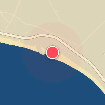
Map
Map
Ibaraki
Today's Surf Conditions at Ibaraki
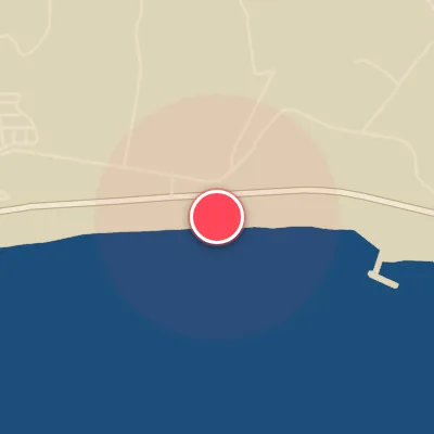
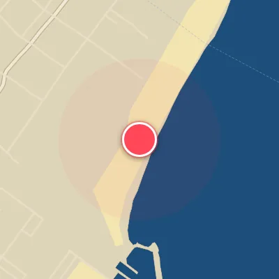
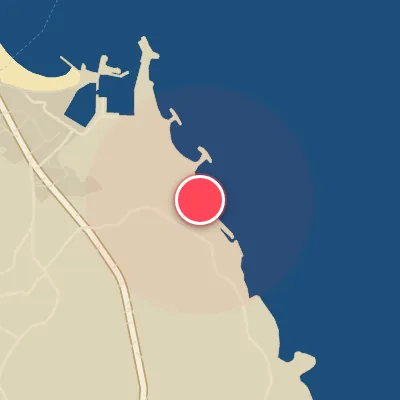
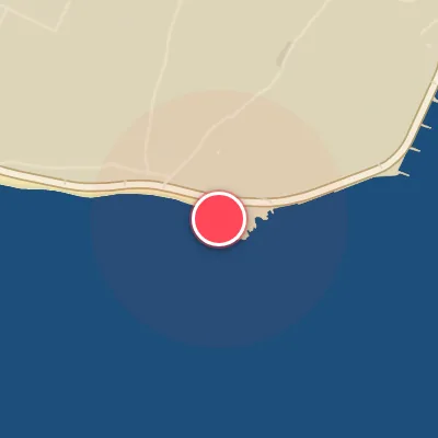
Spot Conditions Map
Hover over the hourly chart columns to update the wind & swell direction overlays on the map.
Today's Surf & Wind Forecast (Hourly)
Loading forecast text...
Best Surf Season & Climatology
Best Surf Season (November - March)
The winter months bring the northwest monsoon, driving cold, dry air over the Sea of Japan and generating powerful low-pressure systems that swing across the northern Pacific. For Ibaraki, this translates into a consistent diet of mid-period to long-period swell from the northeast through east-northeast, averaging 1.6-1.8m with periods around 9.5-10s. The win-win comes from the accompanying offshore winds: strong northwesterlies and west-northwesterlies (SW to WNW) funnel between high pressure over Siberia and low pressure east of Japan, keeping the wave faces groomed and glassy. This is the prime window, with ideal wind conditions blowing 20-30% of the time and swell big enough to light up the points and reefs.
Fair Surf Season (April - May & October)
Spring marks the transition away from the winter storm track. Swell heights drop slightly to 1.4-1.6m and periods shorten to the 8-9s range, as the Aleutian Low weakens and the Pacific high begins to build. Dominant swell direction shifts from north-east to east and east-southeast, still hitting the spot's open ENE exposure. Offshore wind windows become more sporadic (23-26% ideal) as the Siberian high retreats and local land/sea breezes take over. October offers a unique silver lining: the start of the typhoon season. Although the average swell height ticks up to 1.7m from departing cyclones, the wind statistics show only 17% ideal conditions - those perfect post-typhoon glassy days are fleeting but can deliver overhead, long-period gems when the pieces fall into place.
Low Surf Season (June - September)
Summer is dominated by the Pacific subtropical ridge, which pumps consistent but weak trade-wind swell from the east-northeast through southeast. Wave heights sit in the 1.2-1.4m range with periods rarely exceeding 9s, producing fun-sized but often bumpy surf. The wind picture is a mixed bag: while the statistical ideal wind percentage ranges from 24-30%, the prevailing south-southwesterlies and southwesterlies (part of the summer monsoon) are not directly offshore for Ibaraki's ENE-facing coast. These cross-shore breezes frequently chop up the surface, especially when the swell is small. July and August see the most consistent summer peaks, but expect grovelly conditions unless a stray tropical storm tracks close enough to pulse the average up. September can show a spike in swell height (1.6m) as the first autumn cold fronts arrive, but the associated wind shift often brings onshore northeasterlies (only 17% ideal wind), making it a frustrating tease.
Detailed Surf Information for Ibaraki
Detailed Surf Forecast
Access our detailed 8-day swell and wind forecast charts for Ibaraki with tidal graphs, period ranges, and daily forecast text summaries.
Swell & Wind Statistics
Explore historical swell consistency, wave heights, and offshore wind windows month-by-month, compiled from over 40 years of data.
Historical Surf Report
Browse the historical database archives to view past wave reports and understand spot climatology during specific years and months.