Map
Map
Inches
Today's Surf Conditions at Inches
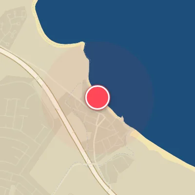
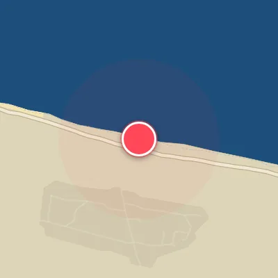
Spot Conditions Map
Hover over the hourly chart columns to update the wind & swell direction overlays on the map.
Today's Surf & Wind Forecast (Hourly)
Loading forecast text...
Spot Overview & Description
Just off the coastal stretch of Route 1 outside Patillas, Inches lives up to its name—a reef-break where waves often detonate in knee-deep water just yards from the sand. This is a prime summer staple in Puerto Rico’s lineup, especially when hurricane pulses roll in from the south or southeast. Swell windows of 4 to 8 feet (1.2 to 2.4 meters) can light up a rippable, sometimes barreling left that peels across a shallow coral platform for a solid 100 yards. The adjacent mountains work a subtle magic, bending the dominant northeast trades into a clean offshore breeze that grooms the faces just enough for long, carveable walls. The break has a shape-shifting personality—sliding north or south depending on swell angle and sand movement—which actually helps spread the crowd load. Access couldn’t be simpler: pull off Route 1 and park steps from the takeoff zone. The local vibe is generally mellow, and the audience ranges from beginners testing their first lefts to experts threading shallow barrels. Best performance comes on a low to mid-tide, when the reef’s coral teeth are most forgiving. Just don’t forget to watch for fire coral, a hidden hazard that lurks beneath the crystal water. Timed right—typically summer and fall, particularly after a tropical cyclone tracks south of the island—Inches offers surging, hollow lefts that earn their reputation as a go-to for those chasing Puerto Rico’s south-shore magic.
Best Surf Season & Climatology
Best Surf Season (November - February)
While Inches never truly fires, the late autumn and early winter months offer the highest frequency of ideal wind conditions and a slight uptick in swell energy from the eastern quadrant. November stands out with a 50% ideal wind score, the highest of the year, but even then, the prevailing E/ESE swell produces weak, short-period waves. True optimal swell from the south and southwest is exceedingly rare, so the 'best' season is a relative term, defined by the best chance of offshore winds and rideable, albeit mediocre, conditions.
Fair Surf Season (March - April, September - October)
These transitional months see a drop in ideal wind frequency and a further flattening of the swell. The wind patterns shift, bringing more onshore E and SE flow that exacerbates the already poor wave quality. Swell heights remain in the small to fun-sized range (0.5-1m), but the short period keeps the surf unappealing. Occasional windows of cleaner conditions can appear with a northerly breeze, but they are fleeting.
Low Surf Season (May - August)
The summer months are the nadir for surf at Inches. The wind is predominantly onshore from the E and ESE, with ideal wind dropping to as low as 34% in June. Swell is dominated by weak, low-period ESE waves, with heights typically under a meter. The combination of constant onshore wind and minimal swell energy results in poor, choppy conditions that are best suited for a flat spell or a grovel session on a longboard. Hurricane swell is almost nonexistent given the spot's exposure, so don't expect any summertime relief.
Detailed Surf Information for Inches
Detailed Surf Forecast
Access our detailed 8-day swell and wind forecast charts for Inches with tidal graphs, period ranges, and daily forecast text summaries.
Swell & Wind Statistics
Explore historical swell consistency, wave heights, and offshore wind windows month-by-month, compiled from over 40 years of data.
Historical Surf Report
Browse the historical database archives to view past wave reports and understand spot climatology during specific years and months.