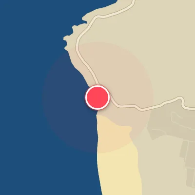
Map
Map
Kommetjie
Today's Surf Conditions at Kommetjie
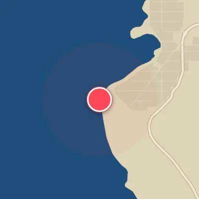
Spot Conditions Map
Hover over the hourly chart columns to update the wind & swell direction overlays on the map.
Today's Surf & Wind Forecast (Hourly)
Loading forecast text...
Best Surf Season & Climatology
Best Surf Season (May - September)
The austral winter roars to life from May through September, as the South Atlantic storm track shifts northward, generating relentless swell trains that march toward the Cape Peninsula. During this window, Kommetjie sees its highest average swell heights, peaking at 2.9m in July, accompanied by long periods averaging 12.4-12.6s. The percentage of swell arriving from the optimal WSW to NW band reaches its annual peak, with over 13% of all waves coming from these directions. Critically, the frequency of favourable offshore winds from the ESE and SE quadrants also climbs to its maximum, with ideal wind conditions occurring 15-19% of the time. This combination delivers powerful, well-shaped waves that break cleanly along Kommetjie's famous reef and beach breaks. Expect pumping, firing conditions when the synoptic setup aligns, with long period groundswells wrapping into the bay under glassy skies.
Fair Surf Season (April & October)
The shoulder months of April and October offer a mix of lingering winter energy and emerging summer patterns. Swell heights remain solid, averaging 2.4m, and the proportion of optimal swell directions hovers around 9-10%. Wind conditions become more variable, with ideal offshore breezes occurring roughly 11-17% of the time. April features a slightly higher chance of clean conditions, while October sees a transition back toward stronger storm activity. During these months, surfers can expect fun, rippable waves on the better days, but the consistency of quality drops compared to the peak winter season.
Low Surf Season (November - March)
From November through March, the South Atlantic storm activity diminishes as high-pressure systems become more dominant. Average swell heights drop to around 2.3m, and the wave period shortens to 11-11.7s, indicating less powerful, shorter interval swell. The percentage of swell arriving from the favourable WSW-NW window falls to 5-9%, meaning the majority of waves come from less ideal directions such as SW and SSW, which don't penetrate Kommetjie's exposure as effectively. Furthermore, offshore wind conditions become scarce, with ideal winds blowing only 9-13% of the time. The prevailing wind shifts to strong SSE and SE breezes, which, while offshore, often blow too hard or too frequently. However, the low season is not without its moments: when a winter-like low pressure system intrudes, it can deliver a few days of solid, long period swell under lighter winds, offering brief windows of great surf.
Detailed Surf Information for Kommetjie
Detailed Surf Forecast
Access our detailed 8-day swell and wind forecast charts for Kommetjie with tidal graphs, period ranges, and daily forecast text summaries.
Swell & Wind Statistics
Explore historical swell consistency, wave heights, and offshore wind windows month-by-month, compiled from over 40 years of data.
Historical Surf Report
Browse the historical database archives to view past wave reports and understand spot climatology during specific years and months.