- Home
- ...North America
 Mexico
- San Augustin
Today's Surf Conditions at San Augustin
Spot Overview & Description
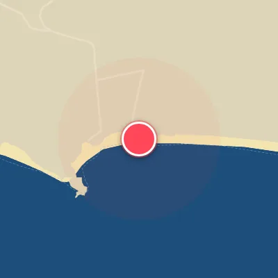
Step off the plane at Huatulco airport and within a short, bumpy ride you’ll find San Agustin—a laid-back slice of Mexico’s southern Pacific Coast where sustainable tourism meets empty waves. Nestled on the western edge of Parque Nacional Huatulco, this wide, white-sand bay offers multiple peaks that come alive when a solid south to southeast swell rolls in. The wave size range spans from 2 to 12 feet, with best results on low to mid tide and clean north winds. A sandy bottom gives way to both left and right-breaking waves, making it a playful option for beginners testing their skills or experienced surfers after a mellow session. The crowd is calm, mostly tourists learning the ropes, so you can soak up the relaxed vibe—but never turn your back on the ocean, as sneaker sets can catch you off guard. Peak season runs April through November, and while the access road may test your suspension, the payoff is a beautiful, uncrowded stretch of coast that truly delivers when the conditions align.
Best Surf Season & Climatology
Best Surf Season (March - August)
San Augustin comes to life in March when the South Pacific storm track starts sending repeated long-period groundswells north into the Mexican coastline. The southern quadrant - especially SSE, S, SSW and SW - delivers well over 75% of the wave energy through the spring, and by May the average period is up to 14.1s. July and August add the next layer: the Eastern Pacific hurricane season begins to contribute tropical-born SSW/SW swell while NNW and NW offshore winds become more reliable, producing some of the cleanest, most powerful days of the year.
Detailed Surf Information for San Augustin
Detailed Surf Forecast
Access our detailed 8-day swell and wind forecast charts for San Augustin with tidal graphs, period ranges, and daily forecast text summaries.
Swell & Wind Statistics
Explore historical swell consistency, wave heights, and offshore wind windows month-by-month, compiled from over 40 years of data.
Historical Surf Report
Browse the historical database archives to view past wave reports and understand spot climatology during specific years and months.