Map
Map
Nago
Today's Surf Conditions at Nago
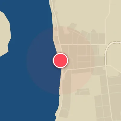
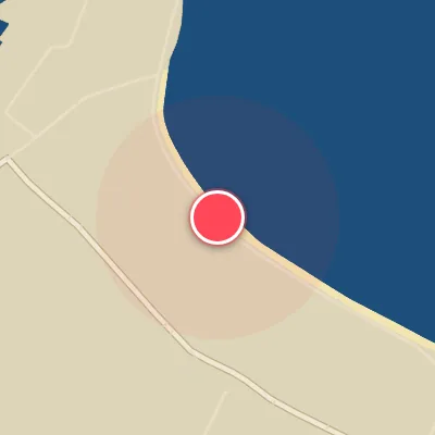
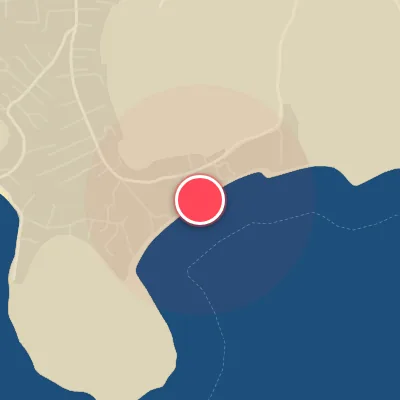
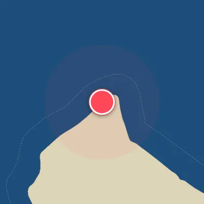
Spot Conditions Map
Hover over the hourly chart columns to update the wind & swell direction overlays on the map.
Today's Surf & Wind Forecast (Hourly)
Loading forecast text...
Best Surf Season & Climatology
Best Surf Season (October - March)
For Nago, the 'best' season is a relative term. While the west-facing beach rarely sees its ideal swell from the west, the austral summer months offer a slight increase in long-period, though infrequent, pulses from the NW and WNW. The North Pacific and Indian Ocean lows occasionally fire, sending low-energy but organized groundswell into the Bismark Sea. When the synoptic setup aligns—a deep low passing south of the Solomons, driving a fetch towards the equator—Nago can see those rare, clean 2-3ft days. Expect average surf heights around 1.0-1.3m with periods often reaching 10-10.5s. However, the trade winds are slackening, and offshore flow from the west becomes more common, especially in October when ideal wind conditions peak near 66%. Still, the dominant swell direction remains NNE to ENE, which wraps in at a poor angle, so consistency is low and quality is very inconsistent.
Fair Surf Season (April - May & September)
During the shoulder months, the surf becomes smaller and weaker as the Pacific high strengthens. Swell heights drop to 0.8-1.0m with shorter periods (8-9s), and the directional spectrum shifts further into the NE and ENE quadrants. These waves lack the power and proper angle to wrap cleanly into the west-facing beach. Wind conditions become better to excellent for surfing—especially in May and September when offshore flow (from the west) dominates 60-68% of the time. But the lack of any meaningful swell from the west means most days are either flat or small and sectiony. You can count on clean, glassy mornings, but you'll be on a groveler for small, weak peelers. The surf is rideable, but rarely rippable.
Low Surf Season (June - August)
This is the true lull for Nago. The deep winter months are ruled by the strong Southeast Trade Winds that actually blow onshore at this spot (since the beach faces west). Wait—our optimal wind is from the west, but during winter the trades come from the SE, which is actually cross- to onshore. The swell drops to a minimum: average heights of 0.8m and periods around 7.6-8.0s. The wave energy is almost entirely from the ENE and E, pushing straight into the beach at a terrible angle for any size. The good news is that the wind is often light and variable early, but the combination of minimal swell and poor direction produces chronic flat spells. A small NW windswell might sneak in from a passing frontal system, but it rarely exceeds 1m. It's a time for longboarders and beginners to practice in weak, sloppy conditions. For anyone seeking clean, powerful surf, it's best to look elsewhere during these months.
Detailed Surf Information for Nago
Detailed Surf Forecast
Access our detailed 8-day swell and wind forecast charts for Nago with tidal graphs, period ranges, and daily forecast text summaries.
Swell & Wind Statistics
Explore historical swell consistency, wave heights, and offshore wind windows month-by-month, compiled from over 40 years of data.
Historical Surf Report
Browse the historical database archives to view past wave reports and understand spot climatology during specific years and months.