Map
Map
Pease Bay
Today's Surf Conditions at Pease Bay
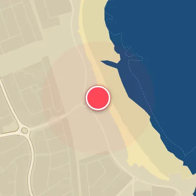
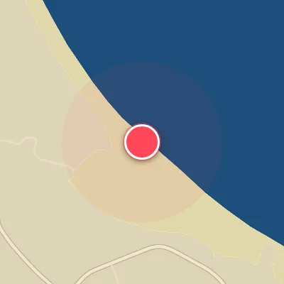
Spot Conditions Map
Hover over the hourly chart columns to update the wind & swell direction overlays on the map.
Today's Surf & Wind Forecast (Hourly)
Loading forecast text...
Spot Overview & Description
Tucked away at the southern terminus of Scotland’s east coast, Pease Bay offers a welcoming blend of accessibility and quality surf for those willing to make the short drive from Edinburgh. This popular beachbreak consistently dishes up well-defined peaks that wedge up powerfully along the expansive stretch of sand. The wave setup is split by nature: a rocky right-hander peels off the southern point, while a playful left-hander wraps around the northern end, providing variety for different skill levels. The seafloor is predominantly sand, interspersed with patches of rock reef that add character and occasional extra push.
Best Surf Season & Climatology
Best Surf Season (October – March)
The North Sea’s winter fury peaks from October through March, bringing the most consistent and sizeable swell to Pease Bay. With average wave heights ranging from 1.3m to 1.6m and periods averaging 6.2–6.4s, the bay sees a steady diet of short-period windswell generated by passing extratropical cyclones. Crucially, the dominant wind tracks during these months – from the SW and WSW – blow directly offshore for this NNE-facing beach, grooming the waves and holding them open. While the average period rarely exceeds 10s, the combination of punchy 1–1.5m swell and favourable offshore flow creates rideable, often fun-to-solid conditions. The NAO index often amplifies these patterns, with positive phases funnelling more low pressure across the north Atlantic into the North Sea. Expect the best windows when a high-pressure ridge stalls over Scandinavia, turning the SW winds lighter and cleaner.
Fair Surf Season (April & September)
During April and September, the transition months, Pease Bay offers a mixed bag. Average swell heights drop to 1.0–1.1m and periods linger around 5.5–6.0s. The wind probabilities still favour offshore quadrants around 16% of the time, but the swells become less consistent and often smaller. Spring sees a gradual weakening of the Atlantic storm track, while autumn begins to recharge. These months can deliver clean, fun-sized waves (1–1.5m) when a late-season low or early autumn storm aligns with a southerly breeze. It’s a gamble, but the potential for quality sessions exists between the flatter spells.
Low Surf Season (May – August)
The summer months from May to August are the leanest period for surf at Pease Bay. Average wave heights bottom out at 0.7–0.9m and periods drop to 5.0–5.7s, resulting in mostly small, weak, and often choppy conditions. Although the percentage of offshore wind remains around 15–16%, the swell is predominantly short-period windswell generated by light local breezes. The dominant swell direction shifts to NNE and NE – which is favourable for the bay’s orientation – but the wave heights are too small to produce any real power. Most days offer only micro surf or flat spells. This is the season for longboard cruises on the rare 0.5–1m days, but serious surfers will find little to get excited about.
Detailed Surf Information for Pease Bay
Detailed Surf Forecast
Access our detailed 8-day swell and wind forecast charts for Pease Bay with tidal graphs, period ranges, and daily forecast text summaries.
Swell & Wind Statistics
Explore historical swell consistency, wave heights, and offshore wind windows month-by-month, compiled from over 40 years of data.
Historical Surf Report
Browse the historical database archives to view past wave reports and understand spot climatology during specific years and months.