Map
Map
Sao Lourenco
Today's Surf Conditions at Sao Lourenco
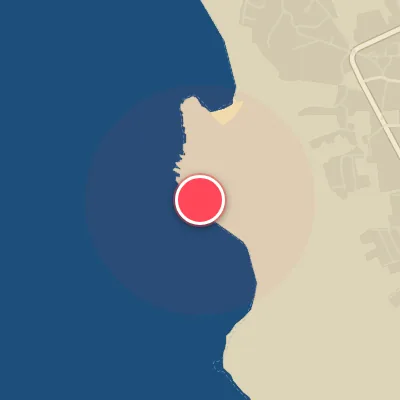
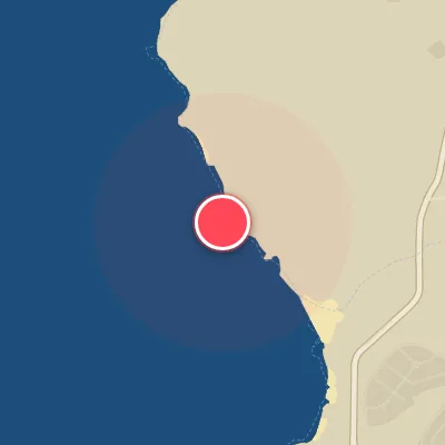
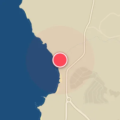
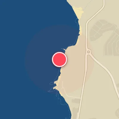
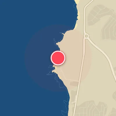
Spot Conditions Map
Hover over the hourly chart columns to update the wind & swell direction overlays on the map.
Today's Surf & Wind Forecast (Hourly)
Loading forecast text...
Spot Overview & Description
São Lourenço is a heavy right-hand reef break that stands as one of Portugal’s premier big-wave arenas. The wave grinds over an uneven reef bed, delivering shifting, almond-crushing barrels and raw, hollow power that can hold up to a solid 6 metres or 18 feet. Remarkably, it remains relatively unfazed by wind, offering clean, steep lines even when other spots get choppy. And perhaps its best-kept secret: this beast rarely sees heavy crowds, rewarding patient chargers with empty, world-class waves.
Best Surf Season & Climatology
Best Surf Season (October - March)
The North Atlantic roars to life during these months, delivering a consistent barrage of powerful, long-period swell generated by intense extratropical storms. Average wave heights range from 2.0m to 2.6m, with periods frequently exceeding 11 seconds, often reaching 12-13s — that's pumping, heavy surf. The dominant swell directions are from the WNW, NW, and NNW, which funnel directly into the spot's West-North-West exposure, producing clean, lined-up waves. Frontal passages often shift winds to favorable offshore directions (east to southeast), yielding ideal conditions about 20-25% of the time. Expect solid head-high to double-overhead sets, with occasional XL swells pushing past 2.5m. This is prime time for committed surfers chasing quality.
Fair Surf Season (April & September)
Spring and early autumn offer transitional windows with some quality waves. April sees the last pulses of winter energy, averaging 2.0m at 11.1s, with a focus on WNW-NW swell. The wind becomes more variable — ideal conditions drop to 13% — but clean, fun-sized days still occur. September marks the beginning of the autumn ramp-up, with average swell height at 1.6m and periods climbing back to 10.5s. Stronger storm activity in the North Atlantic starts to build, while wind patterns shift, offering occasional offshore windows (12% ideal). Expect fun, rippable waves, but consistency is lower than winter.
Low Surf Season (May - August)
Summer ushers in a persistent lull. Swell heights drop to 1.4-1.7m with periods shrinking to 8.5-9.9s, resulting in choppy, average conditions. The dominant swell shifts to NNW to NW, often generated by weaker distant storms or local windswell. The wind regime becomes dominated by strong northern trades (N, NNW) blowing 20-40 kph, which create onshore, bumpy surf and ruin quality. Ideal offshore wind is a rare commodity, occurring only 3-9% of the time. Waves are mostly small, groveling and messy, best left for longboards or smaller crafts. On the rare occasion when high pressure settles over the Bay of Biscay, light easterly winds can clean things up, but those days are few and far between.
Detailed Surf Information for Sao Lourenco
Detailed Surf Forecast
Access our detailed 8-day swell and wind forecast charts for Sao Lourenco with tidal graphs, period ranges, and daily forecast text summaries.
Swell & Wind Statistics
Explore historical swell consistency, wave heights, and offshore wind windows month-by-month, compiled from over 40 years of data.
Historical Surf Report
Browse the historical database archives to view past wave reports and understand spot climatology during specific years and months.