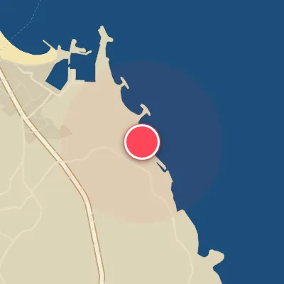
Map
Map
Sendai
Today's Surf Conditions at Sendai
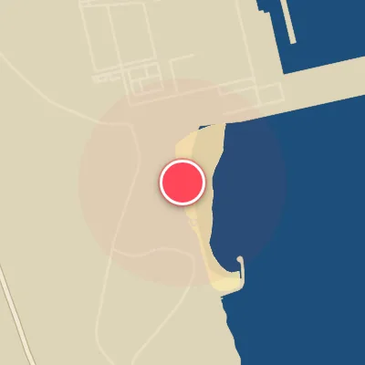
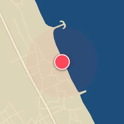
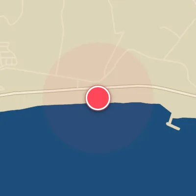
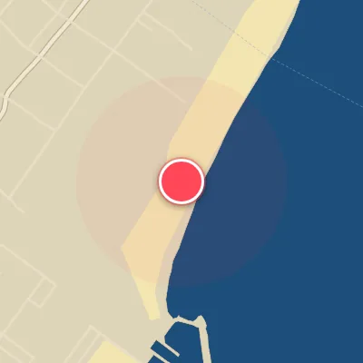
Spot Conditions Map
Hover over the hourly chart columns to update the wind & swell direction overlays on the map.
Today's Surf & Wind Forecast (Hourly)
Loading forecast text...
Best Surf Season & Climatology
Best Surf Season (October - March)
The heart of the winter monsoon drives Japan's east coast into life. Strong high pressure over Siberia funnels cold, dry air southward, generating persistent offshore winds from the W, WNW, and NW. This is the sweet spot for Sendai. With an average wave period of 9.3-9.4 seconds and swell heights sitting around 1.0-1.1m, the combo of clean, groomed faces and punchy, rideable waves makes these the most consistent months. The dominant swell directions shift from ENE to E and ESE, aligning perfectly with the beach's exposed orientation. When a low-pressure system tracks through the Sea of Japan, we see a sharp uptick in swell size, often pushing into the 1.5-2.5m range, turning the lineup into a pumping, firing zone. The wind blows offshore over 45-54% of the time, so the chances of scoring a session with glassy corduroy lines are high.
Fair Surf Season (April, May & September)
Transition is the name of the game. As the Siberian high weakens, the offshore wind reliability starts to drop off into the 35-41% range. The swell remains rideable, though the average period drops slightly to 8.3-8.9 seconds, giving waves a more average, punchy feel rather than the long-period power of winter. Swell direction becomes heavily dominated by ESE and SE, which still hit the spot well, but the increasing frequency of onshore breezes from the same direction can wreck the surface. You'll need to pick your windows wisely when the wind clocks around to W or NW, often ahead of a cold front. May and April bring a lot of 0.5-1.5m fun-sized waves, but the quality is a lottery. September sees a resurgence in swell energy from early autumn typhoons, with longer periods around 9.1s and solid 1-1.5m sets, though the wind remains fickle.
Low Surf Season (June - August)
The summer months are the doldrums for Sendai. The dominant wind pattern shifts to the S and SSE, bringing onshore conditions that mess up the wave quality. The wind is only ideal 27-29% of the time, and when it does blow offshore, it's often weak. Swell heights average 0.9-1.0m, but the period drops to 8.2-8.5s, meaning lots of choppy, low, messy days. Swell direction is overwhelmingly from ESE and SE, which would be good if not for the accompanying onshore wind. Occasionally a typhoon passing to the south will send longer-period E or SE swell, but more often than not, the window is ruined by southerly airflow. This is the season for groveling on small, weak days – unless a storm track aligns perfectly. For most surfers, this is the time to travel or take up another hobby.
Detailed Surf Information for Sendai
Detailed Surf Forecast
Access our detailed 8-day swell and wind forecast charts for Sendai with tidal graphs, period ranges, and daily forecast text summaries.
Swell & Wind Statistics
Explore historical swell consistency, wave heights, and offshore wind windows month-by-month, compiled from over 40 years of data.
Historical Surf Report
Browse the historical database archives to view past wave reports and understand spot climatology during specific years and months.