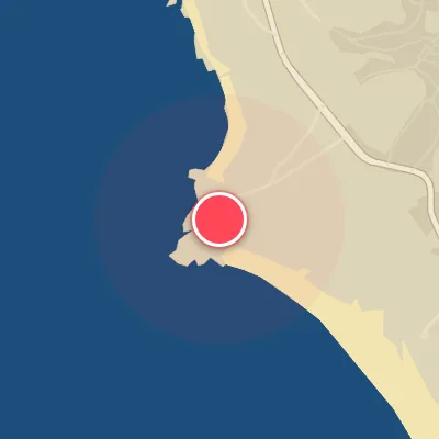
Today's Surf Conditions at Louro
Best Surf Season & Climatology
Best Surf Season (October - March)
The North Atlantic's storm machine starts cranking in October and doesn't let up until spring. As low pressure systems roll east along the 40-50°N storm track, Louro receives a steady diet of powerful, long-period ground swell. Average wave heights climb from 3ft (1.0m) in September to 5-6ft (1.5-1.8m) through winter, with wave periods pushing 12-13s. The key to scoring at this SW-facing beach is catching the swells from the S-SSW-SW-WSW window while the northerly offshore flow (N-NNE-NE-ENE) keeps the faces clean. When those two line up, deep winter at Louro is as good as it gets. The NAO matters too: when it tilts negative, storms dive farther south and feed more S/SW swell into the Iberian corner. Still, many storms send winds from S/SSW/SW/WSW, which can quickly chop up an otherwise perfect swell.
Detailed Surf Information for Louro
Detailed Surf Forecast
Access our detailed 8-day swell and wind forecast charts for Louro with tidal graphs, period ranges, and daily forecast text summaries.
Swell & Wind Statistics
Explore historical swell consistency, wave heights, and offshore wind windows month-by-month, compiled from over 40 years of data.
Historical Surf Report
Browse the historical database archives to view past wave reports and understand spot climatology during specific years and months.