Map
Map
Uliss
Today's Surf Conditions at Uliss
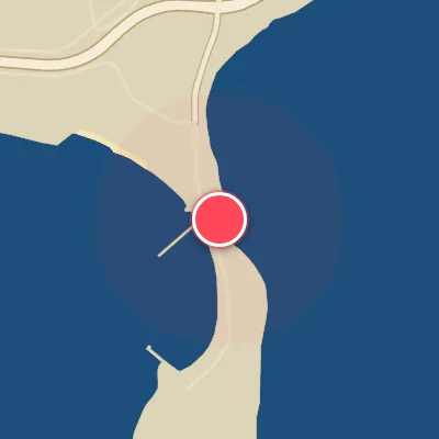
Spot Conditions Map
Hover over the hourly chart columns to update the wind & swell direction overlays on the map.
Today's Surf & Wind Forecast (Hourly)
Loading forecast text...
Best Surf Season & Climatology
Best Surf Season (October - March)
The deep winter months bring the most consistent and powerful swell to Uliss, driven by intense low-pressure systems tracking across the North Atlantic and the Norwegian Sea. During this period, the dominant wind regime shifts to strong northerly and north-northwesterly flows, which blow directly offshore for this south-southeast-facing beach. The average wave height hovers around 0.7-0.8m, but pulses of longer-period energy (>8s) from the NNW quadrant can push waves into the fun, rippable 1-1.5m range. Though the wind is ideal only 4-5% of the time, when a high-pressure ridge builds over Scandinavia and a low sits in the Barents Sea, the result is glassy, lined-up surf. The best windows are often short-lived, but these are the months to watch.
Fair Surf Season (April, May, September)
Spring and early autumn are transitional seasons. April sees a mix of lingering northerly swells and building southerly windswell as the polar jet begins to weaken. The average period climbs to 5.6s, but southerly components dominate the swell direction – often accompanied by onshore S/SSE winds that degrade the surface. Still, occasional NNW swells with offshore N winds can deliver small, fun-sized waves (0.5-1m). May is dominated by a strong southerly swell signal (42.6% from S), but the prevailing winds from SSE and S make for choppy conditions. September offers the first hints of winter: the swell direction becomes more mixed and N/NNE winds increase. However, average heights remain at 0.5m and the period is still short (4.8s), so it's a month of marginal, groveling waves with the occasional promising front.
Low Surf Season (June - August)
The summer months are the low point for surf at Uliss. The North Atlantic storm track retreats far to the north, and the local swell is dominated by weak, short-period windswell generated by persistent southerly and southeasterly breezes. Over 80% of the waves come from the S and SSE quadrants, almost always with onshore or cross-onshore winds from the same directions. Average wave height drops to just 0.5m, and periods hover around 5s – producing choppy, messy conditions ill-suited for a quality surf. The percentage of ideal (offshore) wind drops to 3-6%, and even when the rare N or NW breeze sets in, the swell lacks the size and power to stand up. This is a season for longboard cruising at best, or simply enjoying the beach.
Detailed Surf Information for Uliss
Detailed Surf Forecast
Access our detailed 8-day swell and wind forecast charts for Uliss with tidal graphs, period ranges, and daily forecast text summaries.
Swell & Wind Statistics
Explore historical swell consistency, wave heights, and offshore wind windows month-by-month, compiled from over 40 years of data.
Historical Surf Report
Browse the historical database archives to view past wave reports and understand spot climatology during specific years and months.