Today's Surf Conditions at Topanga
Spot Overview & Description
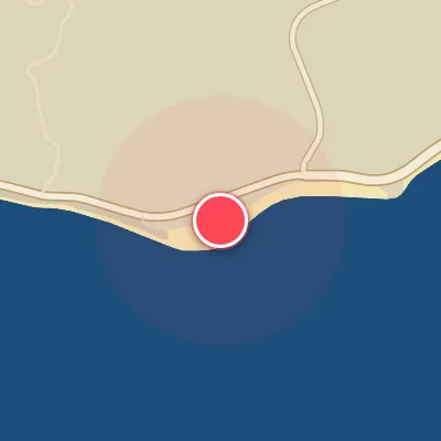
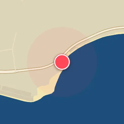
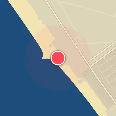
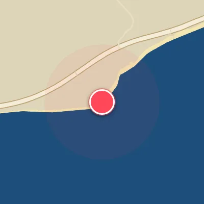
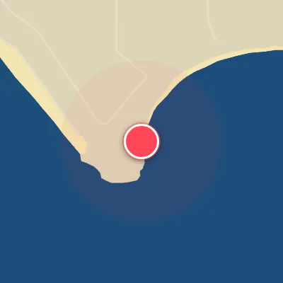
Nestled at the base of Topanga Canyon where Topanga Creek meets the sea, Topanga State Beach is a long, right-hand pointbreak that unfurls across a mixed bed of cobblestone, boulders, and sand. The wave offers distinct, quality sections and a clean lineup that’s easily read from shore, with the outer ledge—known as Boomers—delivering a shorter, more powerful punch than its main brethren. While it may lack the seamless perfection of nearby Malibu, Topanga compensates with its own brand of character: a high-performance, workable wave that demands respect through its challenging sections and shifting peaks. It rewards those who can read the nuances.
Best Surf Season & Climatology
Best Surf Season (November - March)
The North Pacific storm track cranks up through the late fall and winter, and Topanga feels every pulse of long-period west-northwest and west-southwest groundswell. The months of December, January and February deliver the highest percentage of offshore north/northeast winds, with ideal conditions 57-61% of the time. Average wave heights hover around 2-3ft (0.7-0.9m), but the 12-13s periods make these waves far more powerful than the height alone suggests. Clean, lined-up walls are common when the northerly offshore flow grooms the W/WSW swell.
Detailed Surf Information for Topanga
Detailed Surf Forecast
Access our detailed 8-day swell and wind forecast charts for Topanga with tidal graphs, period ranges, and daily forecast text summaries.
Swell & Wind Statistics
Explore historical swell consistency, wave heights, and offshore wind windows month-by-month, compiled from over 40 years of data.
Historical Surf Report
Browse the historical database archives to view past wave reports and understand spot climatology during specific years and months.