Map
Map
Berria
Today's Surf Conditions at Berria
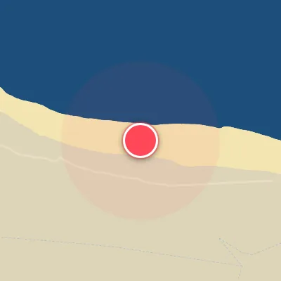
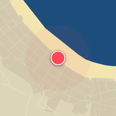
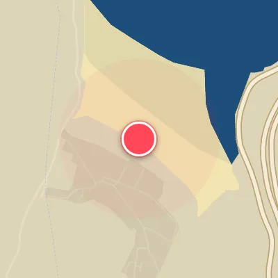
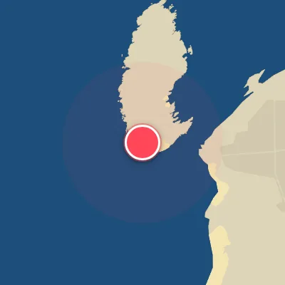
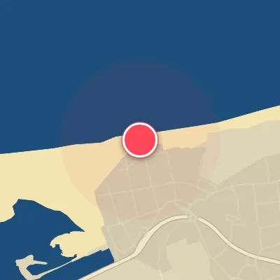
Spot Conditions Map
Hover over the hourly chart columns to update the wind & swell direction overlays on the map.
Today's Surf & Wind Forecast (Hourly)
Loading forecast text...
Spot Overview & Description
Berria is an expansive stretch of golden sand that delivers peaks in both directions, offering options for goofy and regular footers alike. The wave quality is at the mercy of shifting sandbars and the tidal cycle, producing shape that can vary dramatically from one session to the next. Consistency here is moderate—conditions align often enough to keep it on the radar, but patience and a keen eye on the charts pay off.
Best Surf Season & Climatology
Best Surf Season (October - March)
The North Atlantic roars to life during these months, with powerful low-pressure systems tracking across the basin and sending consistent, long-period NW swell towards the Bay of Biscay. Average swell heights hover between 1.5m and 2.0m, with periods often exceeding 12 seconds, delivering punchy, well- lined waves. The wind regime is equally favorable – a southerly component (SSW, SW, S) dominates, blowing offshore for this north- facing beach, and ideal wind conditions occur roughly 45–53% of the time. This is the prime window for firing, clean surf at Berria.
Fair Surf Season (April & September)
These transition months offer a mixed bag. April sees lingering winter swell (ave 1.4m, period 10.9s) but a drop in ideal wind frequency to 35%, as the Azores High begins to build and north winds become more common. September marks the return of oceanic energy with an average swell height of 1.2m and period 10.4s, and ideal wind percentage climbing back to 36%. While not as consistent as winter, these months can produce surprisingly good days when a southerly breeze aligns with a fresh NW swell.
Low Surf Season (May - August)
Summer brings a dramatic lull. The North Atlantic storm track shifts north, and the Azores High settles in, creating a persistent northerly wind regime that blows directly onshore at Berria. Average swell heights drop to just 0.9–1.1m, with periods around 9 seconds, resulting mostly in weak, short- period, messy conditions. Ideal wind plummets to 22–25%. However, occasional pulses of long- period groundswell from distant storms can sneak in, and on rare days when a late- evening southerly thermal develops, the waves can turn fun. But generally, it’s a time for smaller boards and lower expectations.
Detailed Surf Information for Berria
Detailed Surf Forecast
Access our detailed 8-day swell and wind forecast charts for Berria with tidal graphs, period ranges, and daily forecast text summaries.
Swell & Wind Statistics
Explore historical swell consistency, wave heights, and offshore wind windows month-by-month, compiled from over 40 years of data.
Historical Surf Report
Browse the historical database archives to view past wave reports and understand spot climatology during specific years and months.