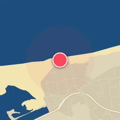
Map
Map
El Brusco
Today's Surf Conditions at El Brusco
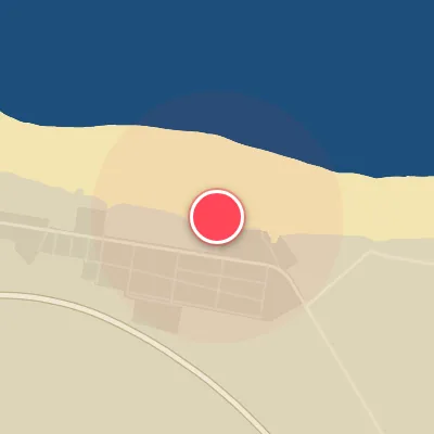
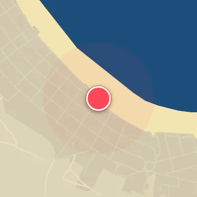
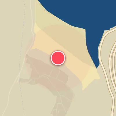
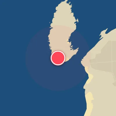
Spot Conditions Map
Hover over the hourly chart columns to update the wind & swell direction overlays on the map.
Today's Surf & Wind Forecast (Hourly)
Loading forecast text...
Best Surf Season & Climatology
Best Surf Season (October - March)
The heart of winter brings the North Atlantic to full roar, and El Brusco reaps the rewards. From October through March, the average swell height consistently sits between 1.5m and 2.0m, with periods often exceeding 12s – a recipe for powerful, long-period groundswells that march straight into the Nord-facing beach. The lion's share of swell comes from the NW quadrant, with significant contributions from WNW and NNW, all of which are optimal for the spot. Crucially, this is also the period when the wind blows offshore – from the S through SSW and SW – a remarkable 46-53% of the time, thanks to frequent high-pressure systems over the Mediterranean and the Iberian Peninsula that set up a classic pressure gradient. The NAO index tends to be positive, driving strong low-pressure systems across the North Atlantic, and when the timing aligns, El Brusco delivers pumping, firing waves with clean faces and plenty of juice. This is the prime window for serious sessions.
Fair Surf Season (April - May & September)
As the calendar turns toward spring, the Atlantic energy begins to taper, but April and May still offer plenty of fun. Average swell heights drop to 1.1-1.4m, and periods hover around 10-11s – still rideable and punchy, especially for grovelers and step-ups. The dominant swell remains NW, but the frequency of larger, long-period events decreases. Offshore wind consistency falls to 31-35%, though lighter winds from the S/SSW/SW quadrant still produce clean sessions, particularly in the early mornings. September marks a transition back toward winter: swell heights climb to 1.2m, periods lengthen to 10.4s, and ideal wind windows increase to 36%. It's a shoulder month where the first autumn storms begin to re-energise the ocean, offering solid, rippable waves between the lingering summer lulls.
Low Surf Season (June - August)
Summer brings a dramatic lull to El Brusco. The North Atlantic storm track retreats northward, and the swell dials down to an average of just 0.9-1.0m with periods around 9s – mostly small, weak, and short-period. The NW swell still dominates but is largely made up of 0.5-1.0m windswell rather than groundswell. Offshore wind reliability plummets to 22-25%, as the local wind regime becomes dominated by light northerly and easterly flows – onshore directions (N, NNW, NW) that can ruin the wave quality. The water warms and crowds are lighter, but surfable waves are few and far between. When a rare SSW offshore wind coincides with a pulse of NW energy, you can score small, clean waves, but expect groveling conditions most days. Best to save your energy for the winter months.
Detailed Surf Information for El Brusco
Detailed Surf Forecast
Access our detailed 8-day swell and wind forecast charts for El Brusco with tidal graphs, period ranges, and daily forecast text summaries.
Swell & Wind Statistics
Explore historical swell consistency, wave heights, and offshore wind windows month-by-month, compiled from over 40 years of data.
Historical Surf Report
Browse the historical database archives to view past wave reports and understand spot climatology during specific years and months.