Map
Map
Bournemouth
Today's Surf Conditions at Bournemouth
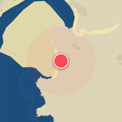
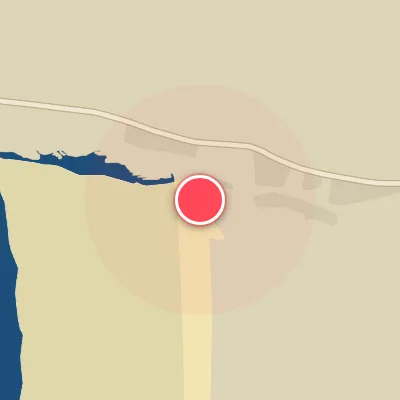
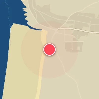
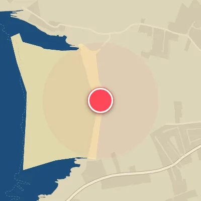
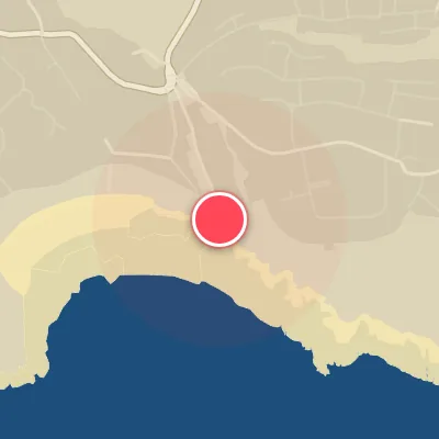
Spot Conditions Map
Hover over the hourly chart columns to update the wind & swell direction overlays on the map.
Today's Surf & Wind Forecast (Hourly)
Loading forecast text...
Spot Overview & Description
Bournemouth delivers a classic sand-bottom beachbreak, with the iconic pier anchoring a dynamic stretch of coastline. Consistent peaks peel off on both sides, but the east side is the main stage, offering playful lefts that run back toward the pier’s pilings and quicker, more powerful rights that race down the beach. The pier structure itself helps lock in sandbanks, keeping the shape more reliable than the open beach sections. Ideal for intermediate surfers on the right swell, this spot comes alive when south to southeast swells wrap in—cleanest with light offshore winds, best on a rising tide to keep the banks from flattening out.
Best Surf Season & Climatology
Best Surf Season (October - March)
The North Atlantic comes alive during the autumn and winter months, hurling low-pressure systems toward the UK with relentless regularity. For Bournemouth, this means a significant uptick in average swell heights, climbing from 1.1m in October to peak near 1.5m in December and January. While the dominant swell directions remain from the SW and WSW – often shadowed by the Isle of Wight – stronger storm systems can swing the swell window into the more favorable SSE and S quadrants. Offshore winds from the north (N, NNE, NW, NNW) become more frequent, especially when high pressure builds over Scandinavia. This combination of long-period groundswell and clean offshore flow defines the prime winter windows. The average wave period hovers around 7-8s, offering punchy, rideable waves when the wind cooperates. Expect the most consistent surf action from October through March, with the best days delivering fun, solid waves in the 1-1.5m range and occasional pumping 1.5-2.5m swells.
Fair Surf Season (April & September)
April and September serve as transitional months, bridging the winter energy and summer lull. Average swell heights drop to around 0.9m, and wave periods shorten to 6-7s, indicating a shift toward more windswell-dominated conditions. However, the North Atlantic still spins up occasional low-pressure systems, bringing pulses of SSE to S swell that can light up Bournemouth's banks. Offshore wind percentages are moderate (16-17%), so clean conditions are possible but less predictable. These months offer a decent chance at fun-sized waves, especially if you time a passing front. It's a shoulder season – not firing on all cylinders, but with patience, there are rewarding sessions to be had.
Low Surf Season (May - August)
Summer arrives and Bournemouth's surf enters a mellow phase. Average swell heights dip to 0.7-0.8m, wave periods bottom out at 5.7-6.5s, and the swell is overwhelmingly dominated by weak, short-period windswell from the SW and WSW. These directions rarely produce anything rideable due to the island shadow, and even when they do, the wind is often onshore. Offshore wind percentages drop to their lowest of the year (12-14%), meaning the window for clean conditions is small. The occasional summer thunderstorm or tropical remnant can stir up a fun little SSE swell, but that's the exception. Most days you'll find micro waves best left for a log or a SUP. This is the low season for true surfing – better suited for a beach day than serious wave riding.
Detailed Surf Information for Bournemouth
Detailed Surf Forecast
Access our detailed 8-day swell and wind forecast charts for Bournemouth with tidal graphs, period ranges, and daily forecast text summaries.
Swell & Wind Statistics
Explore historical swell consistency, wave heights, and offshore wind windows month-by-month, compiled from over 40 years of data.
Historical Surf Report
Browse the historical database archives to view past wave reports and understand spot climatology during specific years and months.