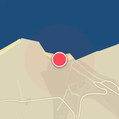

Today's Surf Conditions at Cap Gris-Nez
Best Surf Season & Climatology
Best Surf Season (October - March)
The North Atlantic storm track starts to load the calendar again in October, and by midwinter the average swell height around Cap Gris-Nez reaches its 3ft (1.0m) ceiling. That isn't massive anywhere, but for this north-facing stretch of the Dover Strait it is the sweet spot. The data show the offshore wind share from S/SSW/SW running at its annual peak through October to December, climbing back in January, with the occasional N/NE/NNW windswell riding down from the North Sea. Average periods of 5.1-5.3s keep things short and punchy, so these are not long-period Atlantic groundswells; they are wind-driven, localized peaks that need exactly the right wind direction to line up. Still, when a cold front sweeps across the Channel and the wind veers into the southwest, Cap Gris-Nez can produce a surprisingly rippable, hollow little wave.
Detailed Surf Information for Cap Gris-Nez
Detailed Surf Forecast
Access our detailed 8-day swell and wind forecast charts for Cap Gris-Nez with tidal graphs, period ranges, and daily forecast text summaries.
Swell & Wind Statistics
Explore historical swell consistency, wave heights, and offshore wind windows month-by-month, compiled from over 40 years of data.
Historical Surf Report
Browse the historical database archives to view past wave reports and understand spot climatology during specific years and months.